Transport Functions
Rail
Road
Postal
Hub Profile
Place type
District seat
Region
Yunnan
Population
44,998
Time zone
Asia/Shanghai
Elevation
143 m
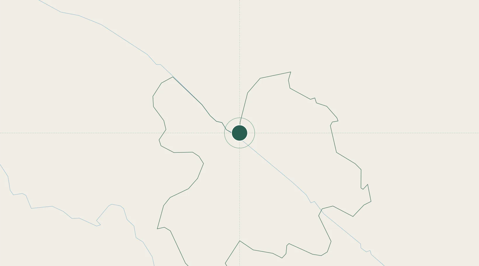
Location
Nearby Logistics Neighbours
Cities
- 1Dulong61 km
- 2Wenshan98 km
- 3B12 Oil Terminal199 km
- 4Hoa Lac208 km
- 5Thái Nguyên222 km
Ports
- 1Hai Phong331 km
- 2Hon Gai363 km
- 3Cam Pha386 km
- 4Nghe Tinh456 km
- 5Fang-Cheng458 km
Airports
- 1Honghe Mengzi Airport / Mengzi Air Base118 km
- 2Wenshan Puzhehei Airport121 km
- 3Wenshan Air Base134 km
- 4Dien Bien Phu Airport160 km
- 5Sam Neua Airport234 km
DatabookThe Record of Consolidated Knowledge
China beyond logistics?