Export Processing Zone · Vietnam

Left Bank Of Da River Industrial Zone Active
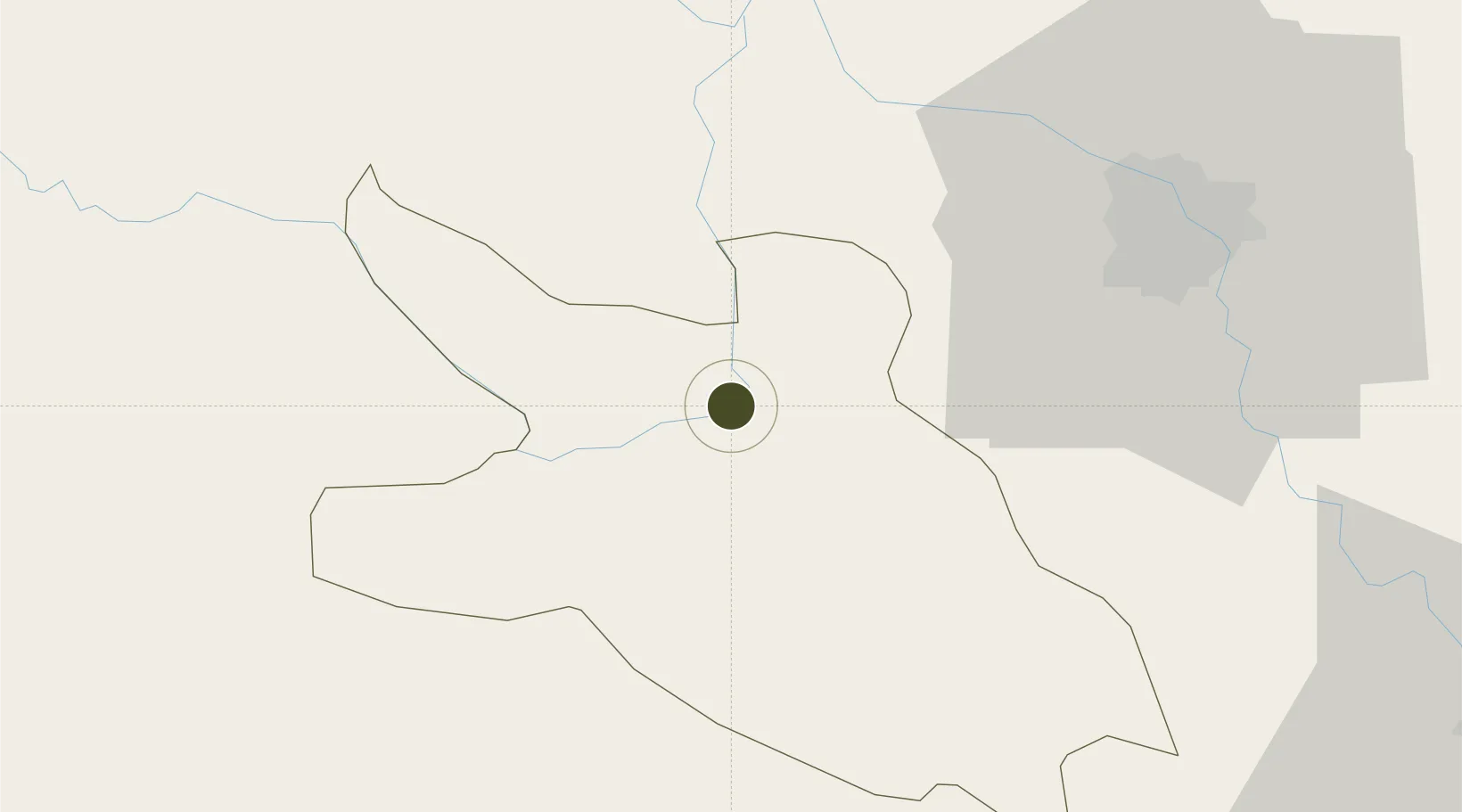
20.8224°, 105.3252°
86 ha
Zone area
141.5 km
Nearest port
63.1 km
Nearest airport

Gateway access

Nearest neighbours — logibook spatial index (haversine) over the source coordinates

Zone profile

Zone type
Export Processing Zone
Open Zone Map
Region
Hòa Bình
Open Zone Map
Status
Active
Open Zone Map
Management
Public-Private Partnership
Open Zone Map
Operator
Song Da-Thang Long JSC, Hoa Binh Management Board of Industrial Parks
Open Zone Map
Legal framework
Decree No.82/2018/ND-CP on Management of Industrial Parks and Economic Zones, Decree No 218/2013/ND-CP
Open Zone Map

Location

Location of ozm-5150
Natural Earth 10m (public domain) · Hòa Bình · ozm-5150 · 20.82, 105.33GoogleOSMYandex

Nearby Logistics Neighbours

Ports
  1. 1Hai Phong142 km
  2. 2Hon Gai182 km
  3. 3Cam Pha213 km
  4. 4Nghe Tinh233 km
  5. 5Fang-Cheng330 km
Nearest neighbours — logibook spatial index (haversine) over the source coordinates
Airports
  1. 1Gia Lam Air Base63 km
  2. 2Noi Bai International Airport67 km
  3. 3Tho Xuan Airport104 km
  4. 4Sam Neua Airport138 km
  5. 5Cat Bi International Airport145 km
Nearest neighbours — logibook spatial index (haversine) over the source coordinates
Cities
  1. 1Hoa Lac50 km
  2. 2Phu Lý68 km
  3. 3Hoa Mac73 km
  4. 4Hanoi77 km
  5. 5Luong Tai86 km
Nearest neighbours — logibook spatial index (haversine) over the source coordinates
Trade Zones
  1. 1Mong Hoa Industrial Zone10 km
  2. 2Nhuan Trach Industrial Zone23 km
  3. 3Luong Son Industrial Zone24 km
  4. 4Hoa Lac Hi-Tech Park31 km
  5. 5Thach That-Quoc Oai Industrial Estate36 km
Nearest neighbours — logibook spatial index (haversine) over the source coordinates
DatabookThe Record of Consolidated Knowledge
Vietnam beyond logistics?
Browse databook

All Sources

Trade ZonesOpen Zone Map
CC BY
Portsthe NGA World Port Index
Public domain (US gov)
AirportsOurAirports
Public domain
LocationsUN/LOCODE
UN/LOCODE — free
← Vietnam trade zones