Diversified Zone · Vietnam

Thuy Van Industrial Zone Active
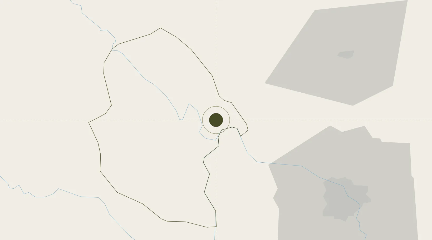
21.3400°, 105.3316°
306 ha
Zone area
147.9 km
Nearest port
51.0 km
Nearest airport

Gateway access

Nearest neighbours — logibook spatial index (haversine) over the source coordinates

Zone profile

Zone type
Diversified Zone
Open Zone Map
Region
Phú Thọ
Open Zone Map
Status
Active
Open Zone Map
Management
Public
Open Zone Map
Operator
Phu Tho Industrial Zone Management Board
Open Zone Map
Legal framework
Decree No.82/2018/ND-CP on Management of Industrial Parks and Economic Zones, Decree No 218/2013/ND-CP
Open Zone Map

Location

Location of ozm-5110
Natural Earth 10m (public domain) · Phú Thọ · ozm-5110 · 21.34, 105.33GoogleOSMYandex

Nearby Logistics Neighbours

Ports
  1. 1Hai Phong148 km
  2. 2Hon Gai185 km
  3. 3Cam Pha214 km
  4. 4Nghe Tinh290 km
  5. 5Fang-Cheng316 km
Nearest neighbours — logibook spatial index (haversine) over the source coordinates
Airports
  1. 1Noi Bai International Airport51 km
  2. 2Gia Lam Air Base66 km
  3. 3Cat Bi International Airport156 km
  4. 4Tho Xuan Airport161 km
  5. 5Sam Neua Airport167 km
Nearest neighbours — logibook spatial index (haversine) over the source coordinates
Cities
  1. 1Hoa Lac17 km
  2. 2Thái Nguyên60 km
  3. 3Hanoi73 km
  4. 4Luong Tai93 km
  5. 5Hoa Mac105 km
Nearest neighbours — logibook spatial index (haversine) over the source coordinates
Trade Zones
  1. 1Trung Ha Industrial Zone12 km
  2. 2Khai Quang Industrial Zone31 km
  3. 3Thach That-Quoc Oai Industrial Estate33 km
  4. 4Bình Xuyên Industrial Estate34 km
  5. 5Binh Xuyen Industrial Zone34 km
Nearest neighbours — logibook spatial index (haversine) over the source coordinates
DatabookThe Record of Consolidated Knowledge
Vietnam beyond logistics?
Browse databook

All Sources

Trade ZonesOpen Zone Map
CC BY
Portsthe NGA World Port Index
Public domain (US gov)
AirportsOurAirports
Public domain
LocationsUN/LOCODE
UN/LOCODE — free
← Vietnam trade zones