Transport Functions
Road
Multimodal
Hub Profile
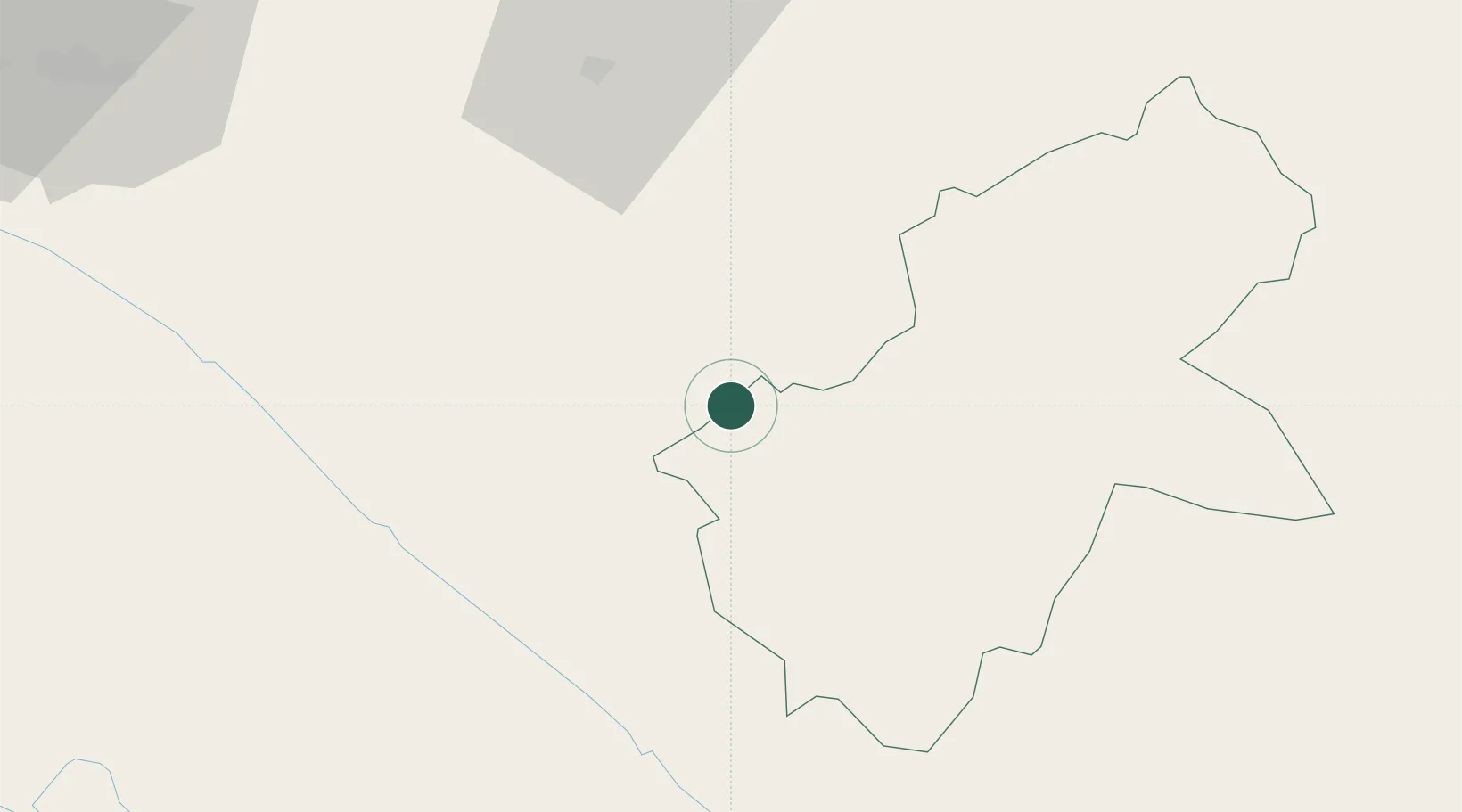
Place type
Populated place
Region
Yunnan
Time zone
Asia/Shanghai
Elevation
1,288 m
Location
Nearby Logistics Neighbours
Cities
- 1Hekou61 km
- 2Wenshan70 km
- 3Thái Nguyên197 km
- 4Hoa Lac198 km
- 5Shuolong236 km
Ports
- 1Hai Phong306 km
- 2Hon Gai334 km
- 3Cam Pha354 km
- 4Fang-Cheng413 km
- 5Qinzhou436 km
Airports
- 1Wenshan Puzhehei Airport88 km
- 2Wenshan Air Base124 km
- 3Honghe Mengzi Airport / Mengzi Air Base137 km
- 4Dien Bien Phu Airport218 km
- 5Noi Bai International Airport220 km
DatabookThe Record of Consolidated Knowledge
China beyond logistics?