Medium airport · Vietnam

Dien Bien Phu AirportVVDB
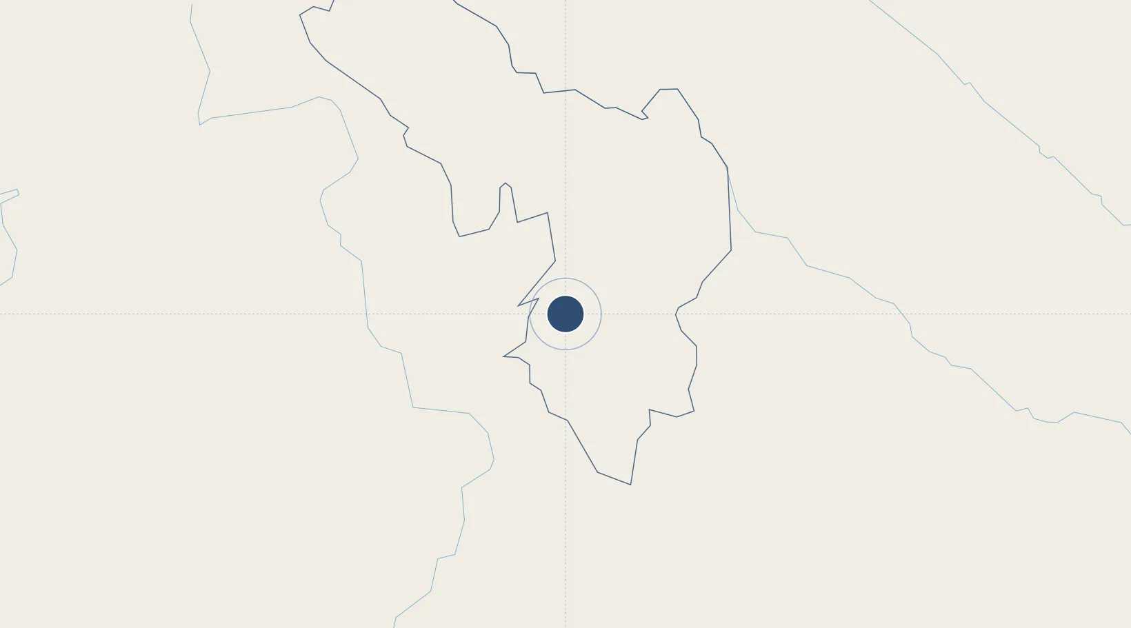
21.3975°, 103.0080°
7,874 ft
Longest runway
1
Runways
1,611 ft
Elevation

Runway & Layout

Dien Bien Phu Airport runway & taxiway layout
Runway & taxiway layout — OpenStreetMap (ODbL) / OurAirports

Radio Frequencies

TWR
118.7 MHz
OurAirports

Navaids

DB NDB Dien Bien 380 kHz
DIB VOR-DME Dien Bien 113.60 MHz
OurAirports

Runways · 1

RunwayDimensions SurfaceTrue headingLit
17/35 7,874 × 98ft Concrete 156°
OurAirports

Airport Specifications

IATA code
DIN
OurAirports
ICAO code
VVDB
OurAirports
Airport class
Medium airport
OurAirports
Scheduled service
Yes
OurAirports
Runway surface
Concrete
OurAirports
Served city
Dien Bien Phu
OurAirports

Location

Location of VVDB
Natural Earth 10m (public domain) · Điện Biên · VVDB · 21.40, 103.01GoogleOSMYandex

Nearby Logistics Neighbours

Airports
  1. 1Oudomsay Airport132 km
  2. 2Sam Neua Airport155 km
  3. 3Luang Namtha Airport174 km
  4. 4Luang Phabang International Airport188 km
  5. 5Xieng Khouang Airport217 km
Nearest neighbours — logibook spatial index (haversine) over the source coordinates
Cities
  1. 1B12 Oil Terminal50 km
  2. 2Oudomxay134 km
  3. 3Boten141 km
  4. 4Nateuy148 km
  5. 5Hekou160 km
Nearest neighbours — logibook spatial index (haversine) over the source coordinates
Ports
  1. 1Hai Phong385 km
  2. 2Nghe Tinh411 km
  3. 3Hon Gai424 km
  4. 4Cam Pha454 km
  5. 5Fang-Cheng554 km
Nearest neighbours — logibook spatial index (haversine) over the source coordinates
Trade Zones
  1. 1Mai Son Industrial Zone110 km
  2. 2Densavanh Border Trade Commercial Zone132 km
  3. 3Ma Lu Thang Border Gate Economic Zone135 km
  4. 4Boten Beautiful Land Specific Economic Zone141 km
  5. 5Boten Special Economic Zone144 km
Nearest neighbours — logibook spatial index (haversine) over the source coordinates
DatabookThe Record of Consolidated Knowledge
Vietnam beyond logistics?
Browse databook

All Sources

AirportsOurAirports
Public domain
Portsthe NGA World Port Index
Public domain (US gov)
LocationsUN/LOCODE
UN/LOCODE — free
Trade Zonesthe World Bank SEZ database
CC BY 4.0
Trade ZonesOpen Zone Map
CC BY
InfrastructureOpenStreetMap
ODbL 1.0
← Vietnam airports