UN/LOCODE hub · Vietnam
VNILB

Tan Cang - Long Binh ICD

10.9000°, 106.8667°
3
Transport functions

Transport Functions

Rail
Road
Multimodal
UN/LOCODE

Hub Profile

Region
39
GeoNames

Location

Location of VNILB
Natural Earth 10m (public domain) · 39 · VNILB · 10.90, 106.87GoogleOSMYandex

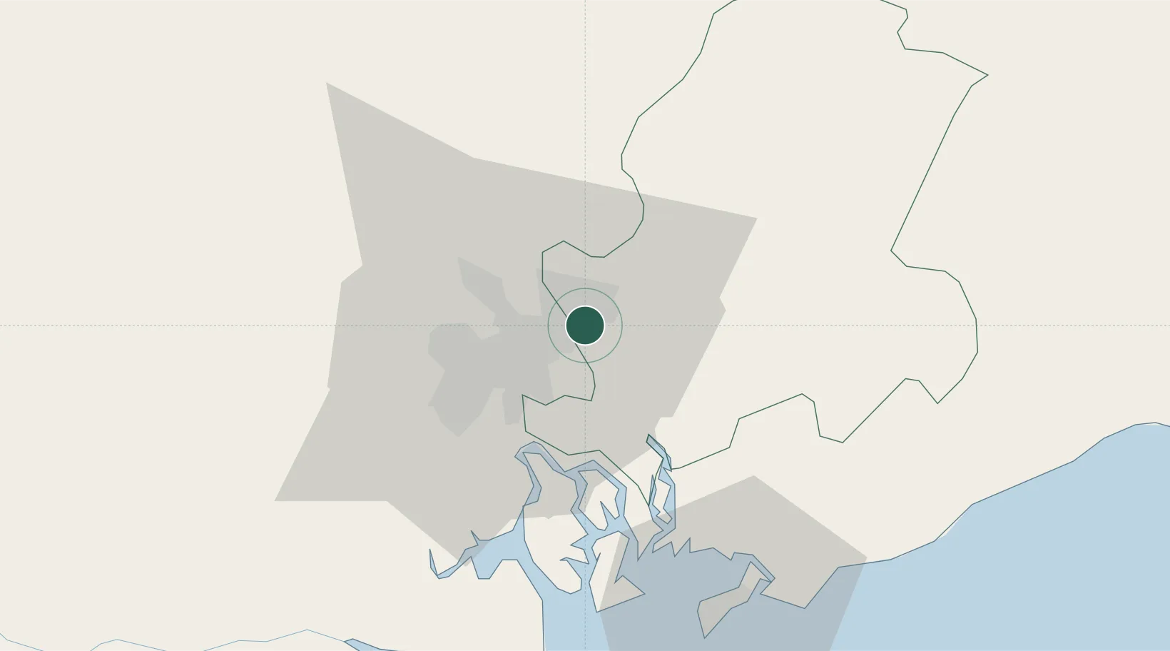
Nearby Logistics Neighbours

Cities
  1. 1Dong Nai1 km
  2. 2Binh Duong Terminal4 km
  3. 3Long Binh Tan5 km
  4. 4Di An9 km
  5. 5Binh Duong12 km
Nearest neighbours — logibook spatial index (haversine) over the source coordinates
Ports
  1. 1Thanh Hoa14 km
  2. 2Cat Lai19 km
  3. 3Thanh Ho Chi Minh22 km
  4. 4Phu My40 km
  5. 5Vung Tau68 km
Nearest neighbours — logibook spatial index (haversine) over the source coordinates
Airports
  1. 1Long Thanh International Airport (Under Construction)24 km
  2. 2Tan Son Nhat International Airport25 km
  3. 3Can Tho International Airport156 km
  4. 4Lien Khuong Airport189 km
  5. 5Rach Gia Airport217 km
Nearest neighbours — logibook spatial index (haversine) over the source coordinates
Trade Zones
  1. 1Bien Hoa I Industrial Park3 km
  2. 2Loteco Industrial Park4 km
  3. 3Amata Industrial Park6 km
  4. 4Tan Dong Hiep B Industrial Zone9 km
  5. 5Long Thanh Industrial Park11 km
Nearest neighbours — logibook spatial index (haversine) over the source coordinates
DatabookThe Record of Consolidated Knowledge
Vietnam beyond logistics?
Browse databook

All Sources

LocationsUN/LOCODE
UN/LOCODE — free
Portsthe NGA World Port Index
Public domain (US gov)
AirportsOurAirports
Public domain
Trade Zonesthe World Bank SEZ database
CC BY 4.0
Trade ZonesOpen Zone Map
CC BY
← Vietnam locations