Diversified Zone · Vietnam

Man Tan Uyen Industrial Park Active
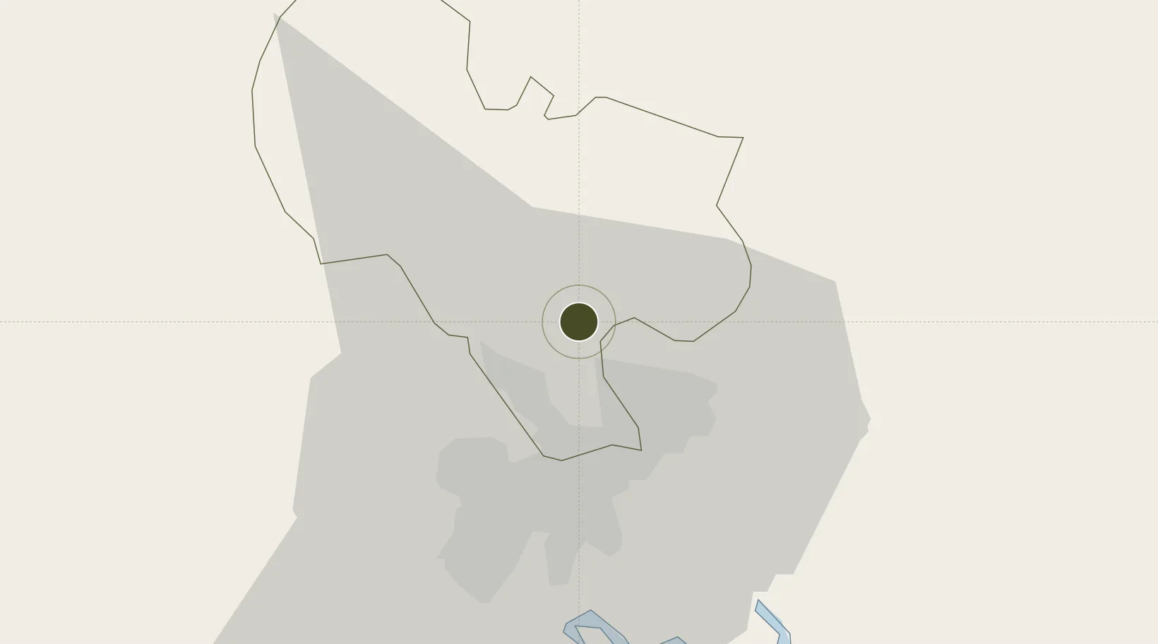
11.0507°, 106.7569°
331 ha
Zone area
26.0 km
Nearest port
28.2 km
Nearest airport

Gateway access

Nearest neighbours — logibook spatial index (haversine) over the source coordinates

Zone profile

Zone type
Diversified Zone
Open Zone Map
Region
Bình Dương
Open Zone Map
Status
Active
Open Zone Map
Management
Public
Open Zone Map
Operator
Nam Tan Uyen Joint Stock Corporation
Open Zone Map
Legal framework
Decree No.82/2018/ND-CP on Management of Industrial Parks and Economic Zones, Decree No 218/2013/ND-CP
Open Zone Map

Location

Location of ozm-5066
Natural Earth 10m (public domain) · Bình Dương · ozm-5066 · 11.05, 106.76GoogleOSMYandex

Nearby Logistics Neighbours

Ports
  1. 1Thanh Hoa26 km
  2. 2Thanh Ho Chi Minh32 km
  3. 3Cat Lai34 km
  4. 4Phu My60 km
  5. 5Vung Tau88 km
Nearest neighbours — logibook spatial index (haversine) over the source coordinates
Airports
  1. 1Tan Son Nhat International Airport28 km
  2. 2Long Thanh International Airport (Under Construction)44 km
  3. 3Can Tho International Airport157 km
  4. 4Lien Khuong Airport192 km
  5. 5Techo International Airport203 km
Nearest neighbours — logibook spatial index (haversine) over the source coordinates
Cities
  1. 1Thanh Phuoc Port5 km
  2. 2Tân Uyên5 km
  3. 3Binh Duong13 km
  4. 4Thu Dau Mot15 km
  5. 5Long Binh Tan16 km
Nearest neighbours — logibook spatial index (haversine) over the source coordinates
Trade Zones
  1. 1Kim Huy Industrial Zone6 km
  2. 2Dai Dang Industrial Zone8 km
  3. 3Vsip Ii Industrial Zone9 km
  4. 4Vsip I Industrial Zone14 km
  5. 5Tan Dong Hiep B Industrial Zone15 km
Nearest neighbours — logibook spatial index (haversine) over the source coordinates
DatabookThe Record of Consolidated Knowledge
Vietnam beyond logistics?
Browse databook

All Sources

Trade ZonesOpen Zone Map
CC BY
Portsthe NGA World Port Index
Public domain (US gov)
AirportsOurAirports
Public domain
LocationsUN/LOCODE
UN/LOCODE — free
← Vietnam trade zones