UN/LOCODE hub · Vietnam
VNLBT

Long Binh Tan

10.9333°, 106.8333°
2
Transport functions

Transport Functions

Port
Road
UN/LOCODE

Hub Profile

Region
39
GeoNames

Location

Location of VNLBT
Natural Earth 10m (public domain) · 39 · VNLBT · 10.93, 106.83GoogleOSMYandex

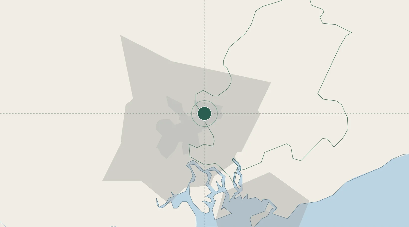
Nearby Logistics Neighbours

Cities
  1. 1Binh Duong Terminal4 km
  2. 2Dong Nai5 km
  3. 3Tan Cang - Long Binh ICD5 km
  4. 4Di An6 km
  5. 5Binh Duong8 km
Nearest neighbours — logibook spatial index (haversine) over the source coordinates
Ports
  1. 1Thanh Hoa15 km
  2. 2Cat Lai21 km
  3. 3Thanh Ho Chi Minh23 km
  4. 4Phu My45 km
  5. 5Vung Tau73 km
Nearest neighbours — logibook spatial index (haversine) over the source coordinates
Airports
  1. 1Tan Son Nhat International Airport24 km
  2. 2Long Thanh International Airport (Under Construction)29 km
  3. 3Can Tho International Airport155 km
  4. 4Lien Khuong Airport190 km
  5. 5Techo International Airport214 km
Nearest neighbours — logibook spatial index (haversine) over the source coordinates
Trade Zones
  1. 1Bien Hoa I Industrial Park3 km
  2. 2Tan Dong Hiep B Industrial Zone6 km
  3. 3Loteco Industrial Park6 km
  4. 4Amata Industrial Park7 km
  5. 5Song Than 2 Industrial Zone10 km
Nearest neighbours — logibook spatial index (haversine) over the source coordinates
DatabookThe Record of Consolidated Knowledge
Vietnam beyond logistics?
Browse databook

All Sources

LocationsUN/LOCODE
UN/LOCODE — free
Portsthe NGA World Port Index
Public domain (US gov)
AirportsOurAirports
Public domain
Trade Zonesthe World Bank SEZ database
CC BY 4.0
Trade ZonesOpen Zone Map
CC BY
← Vietnam locations