Export Processing Zone · Vietnam

Yen Phong Ii Industrial Estate Under Development
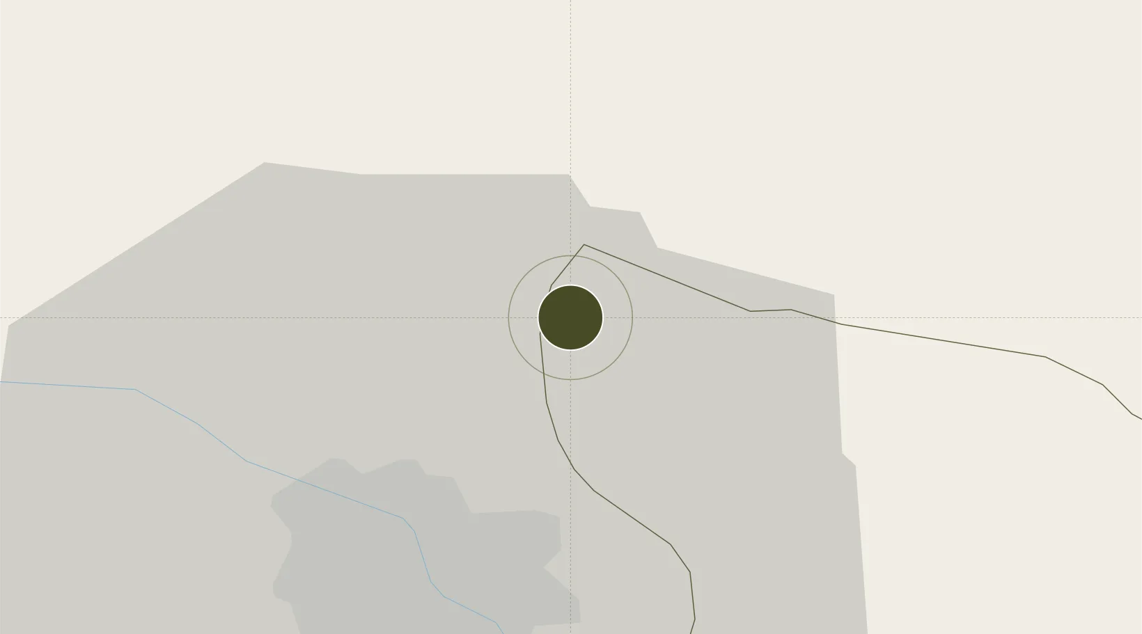
21.2021°, 105.9367°
314 ha
Zone area
83.7 km
Nearest port
13.6 km
Nearest airport

Gateway access

Nearest neighbours — logibook spatial index (haversine) over the source coordinates

Zone profile

Zone type
Export Processing Zone
Open Zone Map
Region
Bắc Ninh
Open Zone Map
Status
Under Development
Open Zone Map
Management
Public-Private Partnership
Open Zone Map
Operator
Viglacera Corporation, Bac Ninh Industrial Zones Authority
Open Zone Map
Legal framework
Decree No.82/2018/ND-CP on Management of Industrial Parks and Economic Zones, Decree No 218/2013/ND-CP
Open Zone Map

Location

Location of ozm-5171
Natural Earth 10m (public domain) · Bắc Ninh · ozm-5171 · 21.20, 105.94GoogleOSMYandex

Nearby Logistics Neighbours

Ports
  1. 1Hai Phong84 km
  2. 2Hon Gai121 km
  3. 3Cam Pha150 km
  4. 4Fang-Cheng257 km
  5. 5Nghe Tinh271 km
Nearest neighbours — logibook spatial index (haversine) over the source coordinates
Airports
  1. 1Noi Bai International Airport14 km
  2. 2Gia Lam Air Base19 km
  3. 3Cat Bi International Airport92 km
  4. 4Tho Xuan Airport153 km
  5. 5Van Don International Airport154 km
Nearest neighbours — logibook spatial index (haversine) over the source coordinates
Cities
  1. 1Hanoi10 km
  2. 2Luong Tai33 km
  3. 3Thái Nguyên39 km
  4. 4Hoa Lac49 km
  5. 5Gia Lam59 km
Nearest neighbours — logibook spatial index (haversine) over the source coordinates
Trade Zones
  1. 1Yen Phong Industrial Zone6 km
  2. 2Hanaka Industrial Estate9 km
  3. 3Tu Son Industrial Estate9 km
  4. 4Tien Son Industrial Zone11 km
  5. 5Đại Đồng - Hoàn Sơn Industrial Zone13 km
Nearest neighbours — logibook spatial index (haversine) over the source coordinates
DatabookThe Record of Consolidated Knowledge
Vietnam beyond logistics?
Browse databook

All Sources

Trade ZonesOpen Zone Map
CC BY
Portsthe NGA World Port Index
Public domain (US gov)
AirportsOurAirports
Public domain
LocationsUN/LOCODE
UN/LOCODE — free
← Vietnam trade zones