Medium airport · United States
Burns Municipal AirportKBNO
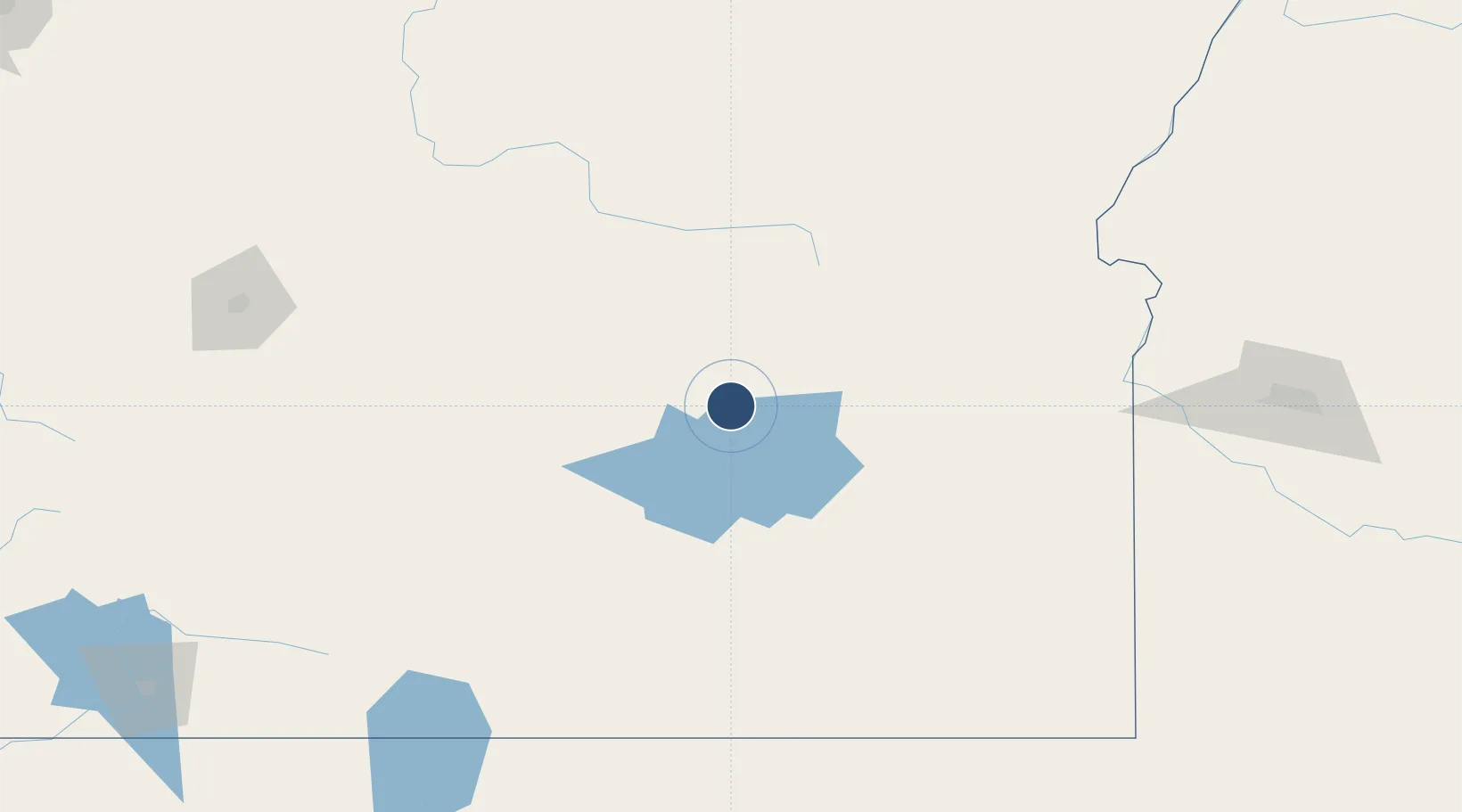
43.5905°, -118.9552°
5,101 ft
Longest runway
2
Runways
4,148 ft
Elevation
Runway & Layout

Radio Frequencies
ASOS
135.575 MHz
RDO
122.5 MHz
MC MINNVILLE RDO
UNIC
122.8 MHz
CTAF/UNICOM
Runways · 2
| Runway | Dimensions | Surface | True heading | Lit |
|---|---|---|---|---|
| 12/30 | 5,101 × 75ft | Asphalt | 135° | ✓ |
| 03/21 | 4,600 × 60ft | Concrete | 048° | ✓ |
Airport Specifications
IATA code
BNO
ICAO code
KBNO
Airport class
Medium airport
Scheduled service
No
Runway surface
Asphalt
Served city
Burns
Location
Nearby Logistics Neighbours
Airports
- 1Ontario Municipal Airport163 km
- 2Baker City Municipal Airport166 km
- 3Roberts Field191 km
- 4Boise Air Terminal/Gowen Field220 km
- 5Eastern Oregon Regional Airport at Pendleton234 km
Cities
- 1Vale144 km
- 2Driggs149 km
- 3Baker City159 km
- 4Nyssa160 km
- 5Parma164 km
Ports
- 1The Dalles285 km
- 2Washougal348 km
- 3Camas351 km
- 4Portland364 km
- 5Vancouver372 km
Trade Zones
- 1FTZ No. 280 Ada and Canyon Counties153 km
- 2FTZ No. 296 Vancouver373 km
- 3FTZ No. 045 Portland374 km
- 4FTZ No. 203 Moses Lake395 km
- 5FTZ No. 255 Washington County414 km
DatabookThe Record of Consolidated Knowledge
United States beyond logistics?