Transport Functions
Rail
Road
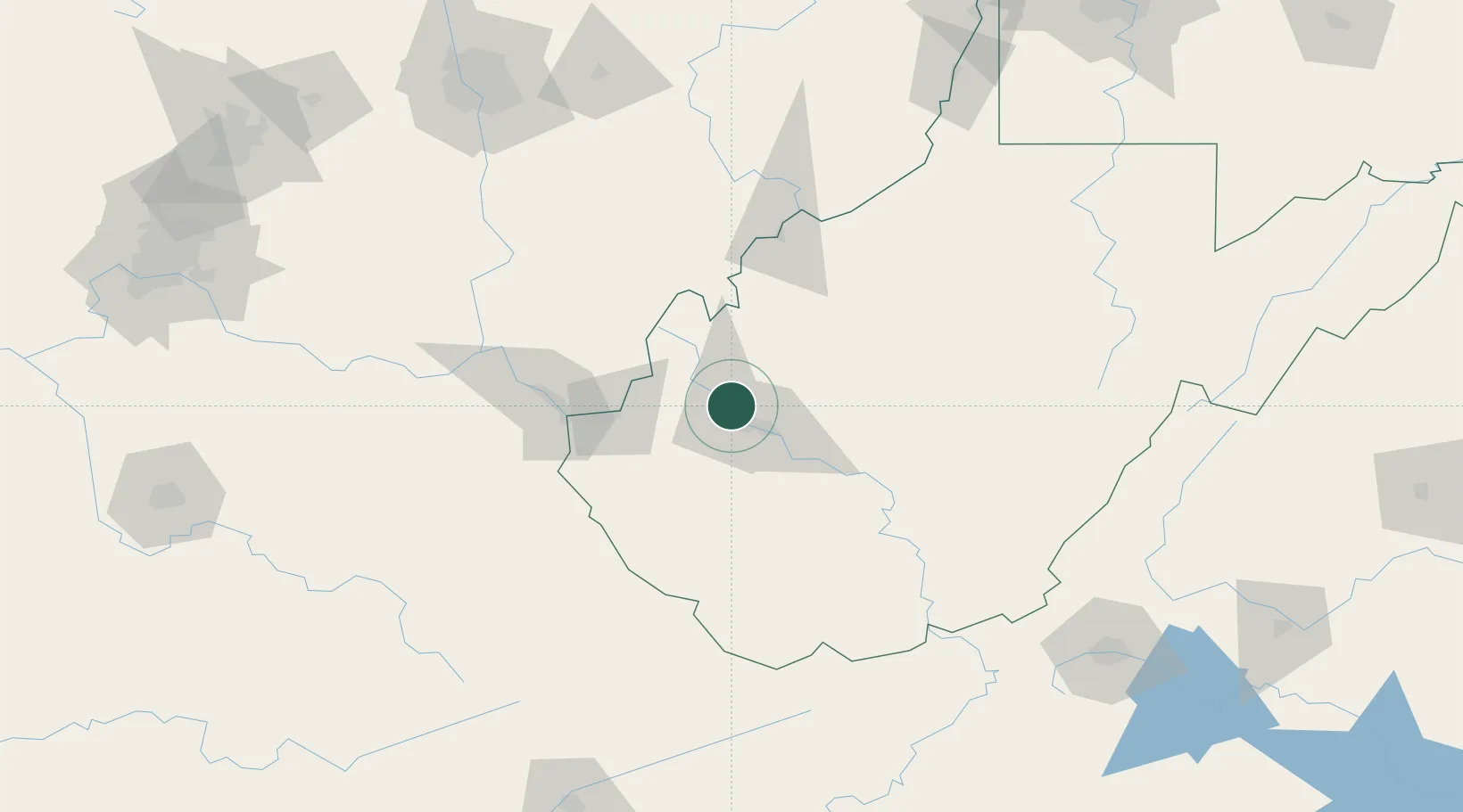
Hub Profile
Place type
Populated place
Region
West Virginia
Population
989
Time zone
America/New_York
Elevation
179 m
Location
Nearby Logistics Neighbours
Cities
- 1Cross Lanes6 km
- 2Saint Albans9 km
- 3Scott Depot11 km
- 4Teays14 km
- 5Eleanor14 km
Airports
Trade Zones
- 1FTZ No. 229 Charleston16 km
- 2FTZ No. 138 Franklin County179 km
- 3FTZ No. 238 Dublin180 km
- 4FTZ No. 054 Clinton County203 km
- 5FTZ No. 204 Tri-Cities227 km
DatabookThe Record of Consolidated Knowledge
United States beyond logistics?