Diversified Zone · China

Changzhou Qishuyan Economic Development Zone Active
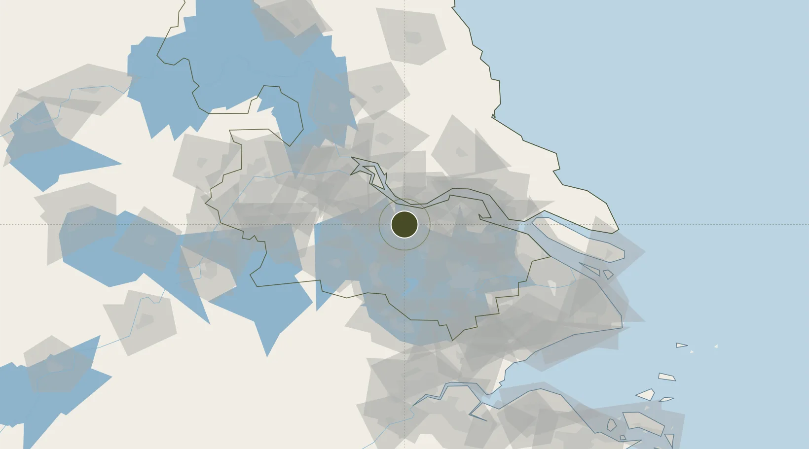
31.7694°, 120.0754°
457 ha
Zone area
22.2 km
Nearest port
32.9 km
Nearest airport

Gateway access

Nearest neighbours — logibook spatial index (haversine) over the source coordinates

Zone profile

Zone type
Diversified Zone
Open Zone Map
Region
Jiangsu
Open Zone Map
Status
Active
Open Zone Map
Management
Public
Open Zone Map
Operator
Changzhou Qishuyan Economic Development Zone Management Committee
Open Zone Map
Legal framework
In January 2015, Changzhou Qishuyan Economic Development Zone of Jiangsu Province was renamed As Changzhou Economic Development Zone of Jiangsu Province, and the Editorial Committee of Jiangsu Province approved the establishment of the Party Working Commi
Open Zone Map

Location

Location of ozm-494
Natural Earth 10m (public domain) · Jiangsu · ozm-494 · 31.77, 120.08GoogleOSMYandex

Nearby Logistics Neighbours

Ports
  1. 1Jiangyin22 km
  2. 2Changzhou24 km
  3. 3Zhangjiangang38 km
  4. 4Gaogang61 km
  5. 5Nantong73 km
Nearest neighbours — logibook spatial index (haversine) over the source coordinates
Airports
  1. 1Changzhou Benniu International Airport33 km
  2. 2Sunan Shuofang International Airport45 km
  3. 3Suzhou Guangfu Airport64 km
  4. 4Rugao Air Base68 km
  5. 5Chenghu General Airport92 km
Nearest neighbours — logibook spatial index (haversine) over the source coordinates
Cities
  1. 1Changzhou13 km
  2. 2Wuxi19 km
  3. 3Jiangyin Pt20 km
  4. 4Chengxi22 km
  5. 5Jingjiang35 km
Nearest neighbours — logibook spatial index (haversine) over the source coordinates
DatabookThe Record of Consolidated Knowledge
China beyond logistics?
Browse databook

All Sources

Trade ZonesOpen Zone Map
CC BY
Portsthe NGA World Port Index
Public domain (US gov)
AirportsOurAirports
Public domain
LocationsUN/LOCODE
UN/LOCODE — free
← China trade zones