Export Processing Zone · China

Changzhou Suburb Economic Developent Zone Active
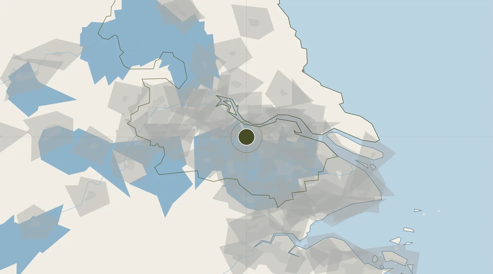
31.7658°, 120.0420°
18,000 ha
Zone area
23.0 km
Nearest port
30.5 km
Nearest airport

Gateway access

Nearest neighbours — logibook spatial index (haversine) over the source coordinates

Zone profile

Zone type
Export Processing Zone
Open Zone Map
Region
Jiangsu
Open Zone Map
Status
Active
Open Zone Map
Management
Public
Open Zone Map
Operator
Working Committee of Changzhou Suburb Economic Developent Zone
Open Zone Map
Legal framework
The plan of optimizing and adjusting the management system of Changzhou Economic development Zone
Open Zone Map

Location

Location of ozm-1471
Natural Earth 10m (public domain) · Jiangsu · ozm-1471 · 31.77, 120.04GoogleOSMYandex

Nearby Logistics Neighbours

Ports
  1. 1Changzhou23 km
  2. 2Jiangyin25 km
  3. 3Zhangjiangang41 km
  4. 4Gaogang60 km
  5. 5Nantong76 km
Nearest neighbours — logibook spatial index (haversine) over the source coordinates
Airports
  1. 1Changzhou Benniu International Airport31 km
  2. 2Sunan Shuofang International Airport47 km
  3. 3Suzhou Guangfu Airport65 km
  4. 4Rugao Air Base70 km
  5. 5Chenghu General Airport94 km
Nearest neighbours — logibook spatial index (haversine) over the source coordinates
Cities
  1. 1Changzhou10 km
  2. 2Wuxi21 km
  3. 3Jiangyin Pt22 km
  4. 4Chengxi25 km
  5. 5Jingjiang38 km
Nearest neighbours — logibook spatial index (haversine) over the source coordinates
DatabookThe Record of Consolidated Knowledge
China beyond logistics?
Browse databook

All Sources

Trade ZonesOpen Zone Map
CC BY
Portsthe NGA World Port Index
Public domain (US gov)
AirportsOurAirports
Public domain
LocationsUN/LOCODE
UN/LOCODE — free
← China trade zones