Diversified Zone · China

Changzhou Zhonglou Economic Development Zone Active
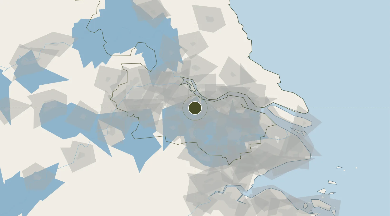
31.7906°, 119.8823°
1,730 ha
Zone area
21.8 km
Nearest port
17.6 km
Nearest airport

Gateway access

Nearest neighbours — logibook spatial index (haversine) over the source coordinates

Zone profile

Zone type
Diversified Zone
Open Zone Map
Region
Jiangsu
Open Zone Map
Status
Active
Open Zone Map
Management
Public
Open Zone Map
Operator
Management Committee of Changzhou Zhonglou Economic Development Zone
Open Zone Map
Legal framework
It was established on September 2, 2002
Open Zone Map

Location

Location of ozm-798
Natural Earth 10m (public domain) · Jiangsu · ozm-798 · 31.79, 119.88GoogleOSMYandex

Nearby Logistics Neighbours

Ports
  1. 1Changzhou22 km
  2. 2Jiangyin36 km
  3. 3Zhangjiangang53 km
  4. 4Gaogang55 km
  5. 5Zhenjiang64 km
Nearest neighbours — logibook spatial index (haversine) over the source coordinates
Airports
  1. 1Changzhou Benniu International Airport18 km
  2. 2Sunan Shuofang International Airport61 km
  3. 3Suzhou Guangfu Airport77 km
  4. 4Rugao Air Base78 km
  5. 5Yangzhou Taizhou Airport87 km
Nearest neighbours — logibook spatial index (haversine) over the source coordinates
Cities
  1. 1Changzhou5 km
  2. 2Wuxi31 km
  3. 3Jiangyin Pt33 km
  4. 4Chengxi36 km
  5. 5Jingjiang47 km
Nearest neighbours — logibook spatial index (haversine) over the source coordinates
DatabookThe Record of Consolidated Knowledge
China beyond logistics?
Browse databook

All Sources

Trade ZonesOpen Zone Map
CC BY
Portsthe NGA World Port Index
Public domain (US gov)
AirportsOurAirports
Public domain
LocationsUN/LOCODE
UN/LOCODE — free
← China trade zones