UN/LOCODE hub · China
CNCZX
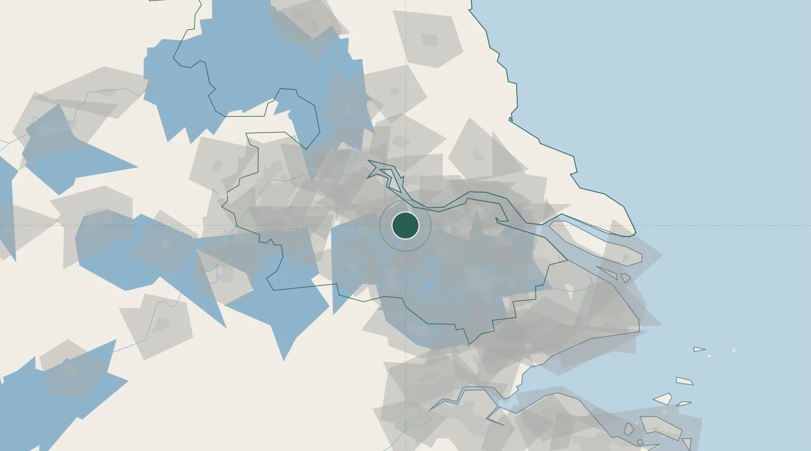
Changzhou
31.7903°, 119.9379°
3,290,918
Population
4
Transport functions
1
Container terminals
Transport Functions
Port
Rail
Road
Airport
Hub Profile
Place type
Provincial seat
Region
Jiangsu
Population
3,290,918
Time zone
Asia/Shanghai
Elevation
9 m
Logistics facilities
8
Container terminals
1
Location
Nearby Logistics Neighbours
Cities
- 1Wuxi27 km
- 2Jiangyin Pt28 km
- 3Chengxi31 km
- 4Jingjiang42 km
- 5Taizhou44 km
Ports
- 1Jiangyin31 km
- 2Zhangjiangang48 km
- 3Gaogang55 km
- 4Zhenjiang67 km
- 5Yangzhou71 km
Airports
DatabookThe Record of Consolidated Knowledge
China beyond logistics?