Free Trade Zone · China

Tianning Economic Development Zone Active
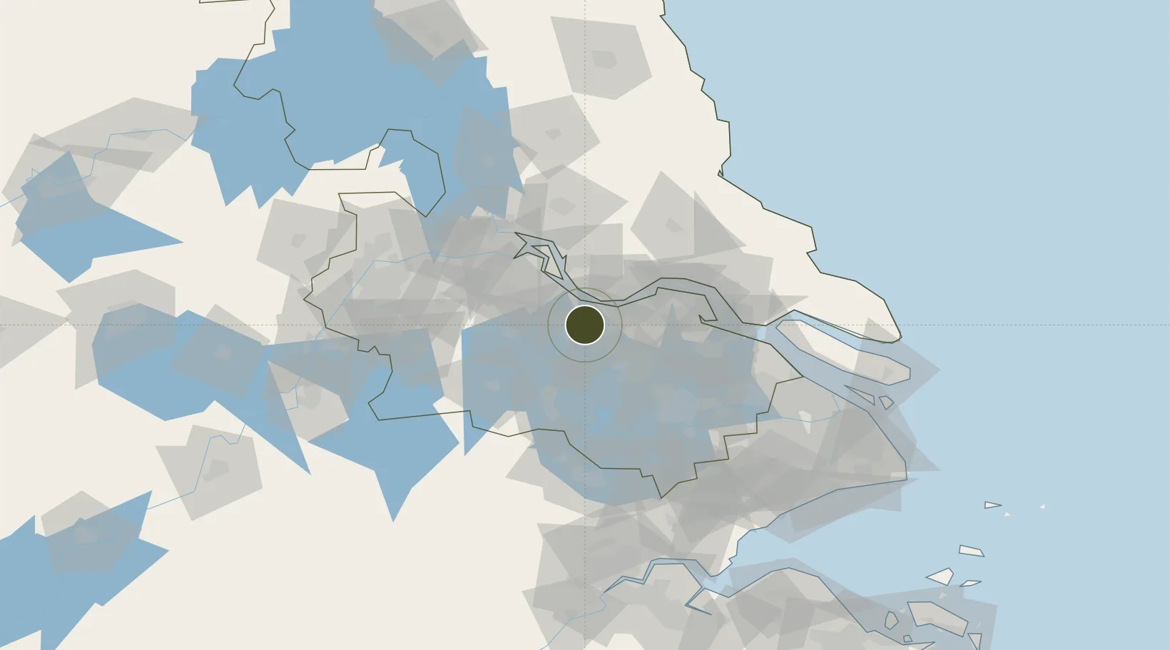
31.8004°, 120.0338°
3,500 ha
Zone area
19.1 km
Nearest port
27.8 km
Nearest airport

Gateway access

Nearest neighbours — logibook spatial index (haversine) over the source coordinates

Zone profile

Zone type
Free Trade Zone
Open Zone Map
Region
Jiangsu
Open Zone Map
Status
Active
Open Zone Map
Management
Public
Open Zone Map
Operator
Working Committee of Tianning Economic Development Zone
Open Zone Map
Legal framework
Tianning Economic Development Zone (Dongqing Area) geographical names planning publicity
Open Zone Map

Location

Location of ozm-1562
Natural Earth 10m (public domain) · Jiangsu · ozm-1562 · 31.80, 120.03GoogleOSMYandex

Nearby Logistics Neighbours

Ports
  1. 1Changzhou19 km
  2. 2Jiangyin23 km
  3. 3Zhangjiangang39 km
  4. 4Gaogang56 km
  5. 5Zhenjiang73 km
Nearest neighbours — logibook spatial index (haversine) over the source coordinates
Airports
  1. 1Changzhou Benniu International Airport28 km
  2. 2Sunan Shuofang International Airport51 km
  3. 3Rugao Air Base67 km
  4. 4Suzhou Guangfu Airport69 km
  5. 5Yangzhou Taizhou Airport90 km
Nearest neighbours — logibook spatial index (haversine) over the source coordinates
Cities
  1. 1Changzhou9 km
  2. 2Wuxi19 km
  3. 3Jiangyin Pt20 km
  4. 4Chengxi23 km
  5. 5Jingjiang35 km
Nearest neighbours — logibook spatial index (haversine) over the source coordinates
DatabookThe Record of Consolidated Knowledge
China beyond logistics?
Browse databook

All Sources

Trade ZonesOpen Zone Map
CC BY
Portsthe NGA World Port Index
Public domain (US gov)
AirportsOurAirports
Public domain
LocationsUN/LOCODE
UN/LOCODE — free
← China trade zones