UN/LOCODE hub · United States
USZQZ
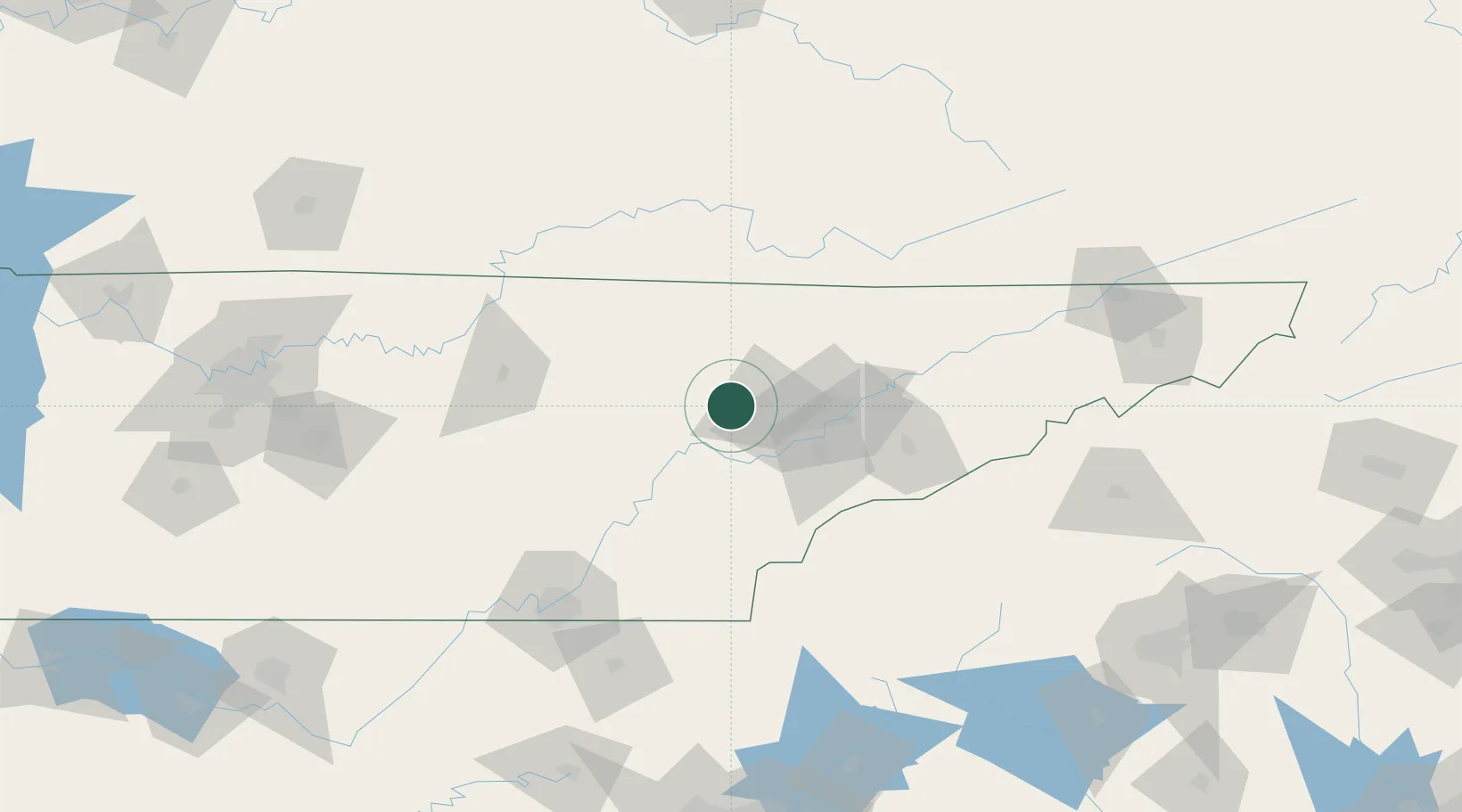
Coalfield
36.0167°, -84.4167°
2,463
Population
3
Transport functions
Transport Functions
Port
Road
Multimodal
Hub Profile
Place type
Populated place
Region
Tennessee
Population
2,463
Time zone
America/New_York
Elevation
314 m
Location
Nearby Logistics Neighbours
Cities
- 1Oakdale, Morgan13 km
- 2Wartburg18 km
- 3Lake City32 km
- 4Powell36 km
- 5Friendsville39 km
Ports
- 1Beaufort527 km
- 2Port Royal532 km
- 3Savannah534 km
- 4Huron620 km
- 5Sandusky622 km
Airports
Trade Zones
- 1FTZ No. 148 Knoxville17 km
- 2FTZ No. 134 Chattanooga134 km
- 3FTZ No. 204 Tri-Cities187 km
- 4FTZ No. 038 Spartanburg County233 km
- 5FTZ No. 078 Nashville239 km
DatabookThe Record of Consolidated Knowledge
United States beyond logistics?