Transport Functions
Road
Multimodal
Hub Profile
Place type
Populated place
Region
Florida
Population
50
Time zone
America/New_York
Elevation
28 m
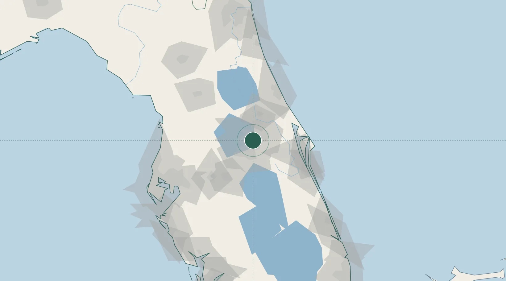
Location
Nearby Logistics Neighbours
Cities
- 1Maitland8 km
- 2Ocoee15 km
- 3Casselberry16 km
- 4Winter Springs17 km
- 5Oviedo22 km
Ports
- 1Canaveral Harbor77 km
- 2Tampa126 km
- 3Tarpon Springs143 km
- 4Sankt-Peterburg149 km
- 5St Augustine150 km
Airports
Trade Zones
- 1FTZ No. 042 Orlando15 km
- 2FTZ No. 250 Seminole County22 km
- 3FTZ No. 136 Brevard County30 km
- 4FTZ No. 198 Volusia County53 km
- 5FTZ No. 215 Sebring121 km
DatabookThe Record of Consolidated Knowledge
United States beyond logistics?