Transport Functions
Port
Rail
Road
Multimodal
Hub Profile
Place type
Populated place
Region
Florida
Population
38,551
Time zone
America/New_York
Elevation
15 m
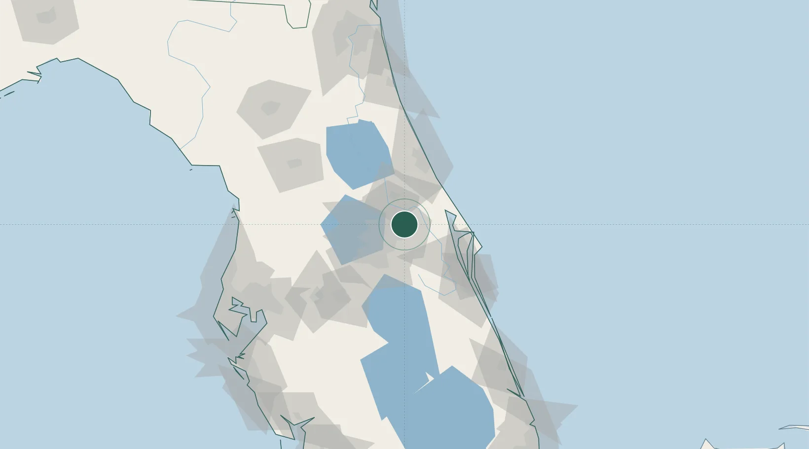
Location
Nearby Logistics Neighbours
Cities
- 1Winter Springs10 km
- 2Geneva11 km
- 3Casselberry13 km
- 4Maitland17 km
- 5Bay Lake22 km
Ports
- 1Canaveral Harbor57 km
- 2St Augustine138 km
- 3Tampa148 km
- 4Fort Pierce159 km
- 5Tarpon Springs164 km
Airports
Trade Zones
- 1FTZ No. 250 Seminole County18 km
- 2FTZ No. 042 Orlando37 km
- 3FTZ No. 136 Brevard County40 km
- 4FTZ No. 198 Volusia County47 km
- 5FTZ No. 215 Sebring137 km
DatabookThe Record of Consolidated Knowledge
United States beyond logistics?