UN/LOCODE hub · United States
USQDQ
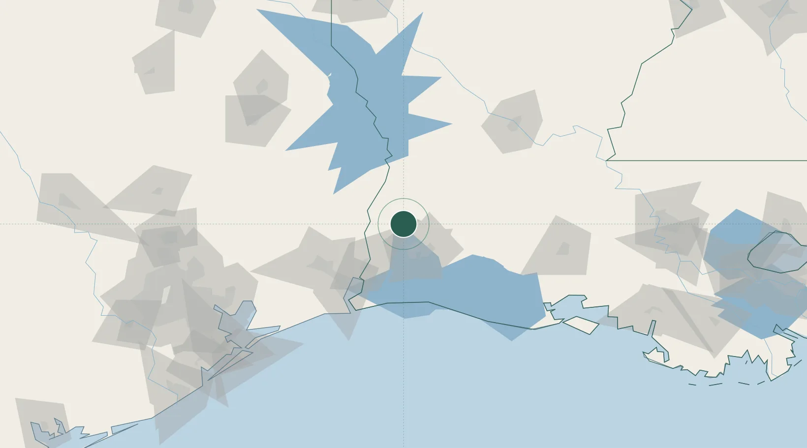
DeQuincy
30.4500°, -93.4167°
3,161
Population
3
Transport functions
Transport Functions
Port
Rail
Road
Hub Profile
Place type
Populated place
Region
Louisiana
Population
3,161
Time zone
America/Chicago
Elevation
24 m
Location
Nearby Logistics Neighbours
Cities
- 1Singer22 km
- 2Lake Charles30 km
- 3Vinton34 km
- 4West Orange52 km
- 5Kinder54 km
Ports
- 1Lake Charles31 km
- 2Orange51 km
- 3Port Neches72 km
- 4Beaumont76 km
- 5Port Arthur87 km
Airports
Trade Zones
- 1FTZ No. 087 Lake Charles29 km
- 2FTZ No. 117 Orange56 km
- 3FTZ No. 291 Cameron Parish75 km
- 4FTZ No. 115 Beaumont86 km
- 5FTZ No. 116 Port Arthur95 km
DatabookThe Record of Consolidated Knowledge
United States beyond logistics?