UN/LOCODE hub · United States
USLCH
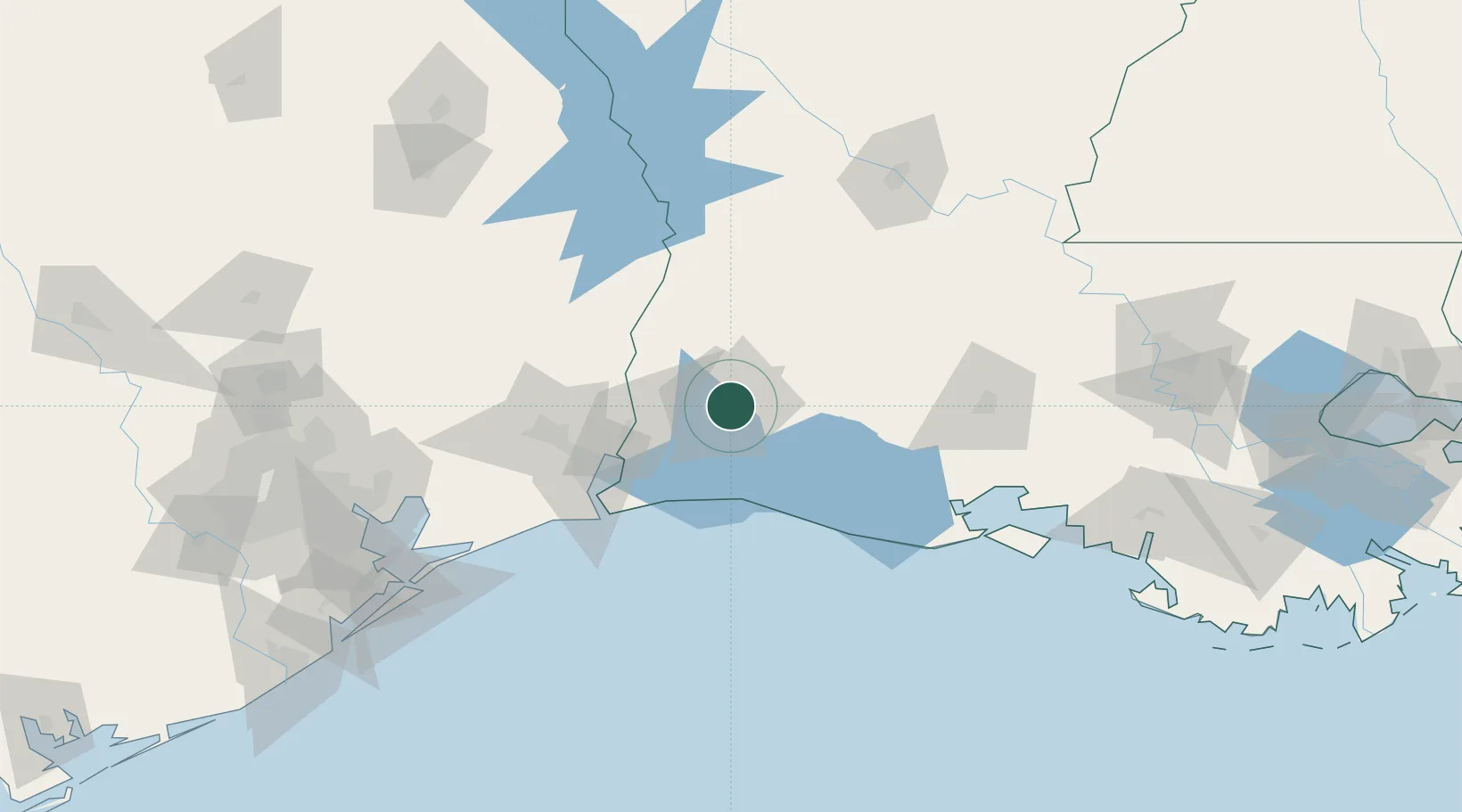
Lake Charles
30.2174°, -93.2505°
76,070
Population
2
Transport functions
Transport Functions
Port
Airport
Hub Profile
Place type
Provincial seat
Region
Louisiana
Population
76,070
Time zone
America/Chicago
Elevation
4 m
Logistics facilities
1
Location
Nearby Logistics Neighbours
Cities
- 1DeQuincy30 km
- 2Vinton32 km
- 3Welsh42 km
- 4Kinder49 km
- 5West Orange50 km
Ports
- 1Orange49 km
- 2Port Neches72 km
- 3Port Arthur81 km
- 4Sabine81 km
- 5Beaumont82 km
Airports
Trade Zones
- 1FTZ No. 087 Lake Charles11 km
- 2FTZ No. 291 Cameron Parish56 km
- 3FTZ No. 117 Orange60 km
- 4FTZ No. 115 Beaumont92 km
- 5FTZ No. 116 Port Arthur93 km
DatabookThe Record of Consolidated Knowledge
United States beyond logistics?