Transport Functions
Rail
Road
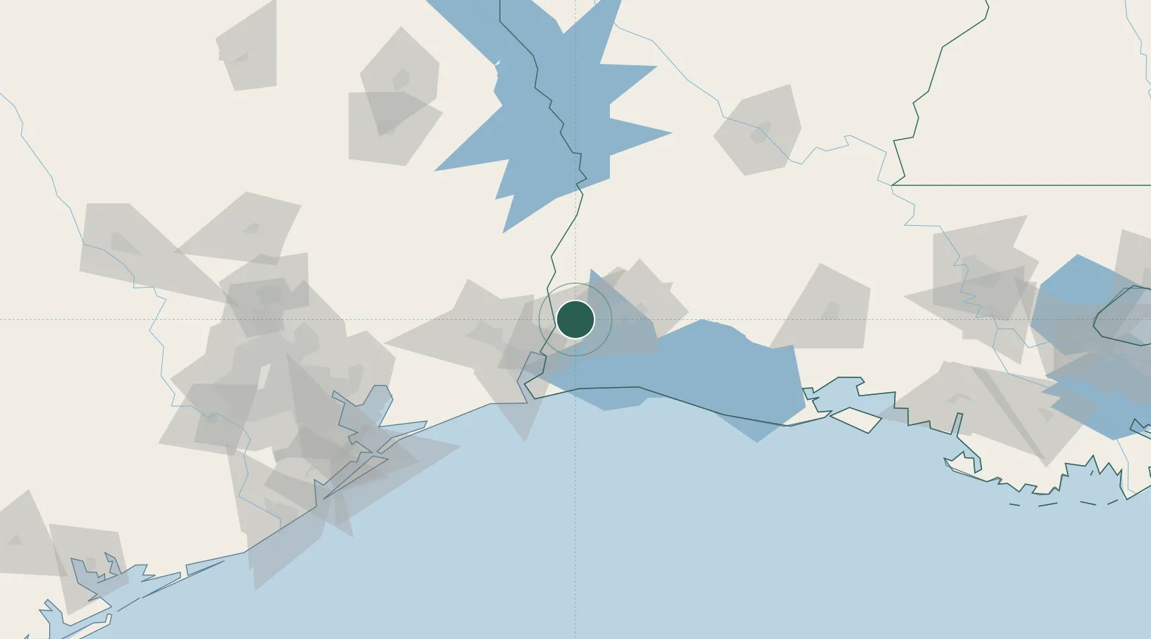
Hub Profile
Place type
Populated place
Region
Louisiana
Population
3,355
Time zone
America/Chicago
Elevation
5 m
Location
Nearby Logistics Neighbours
Cities
- 1West Orange20 km
- 2Lake Charles32 km
- 3DeQuincy34 km
- 4Atreco36 km
- 5Vidor40 km
Ports
- 1Orange18 km
- 2Lake Charles32 km
- 3Port Neches41 km
- 4Beaumont49 km
- 5Port Arthur54 km
Airports
Trade Zones
- 1FTZ No. 087 Lake Charles21 km
- 2FTZ No. 117 Orange28 km
- 3FTZ No. 291 Cameron Parish44 km
- 4FTZ No. 115 Beaumont60 km
- 5FTZ No. 116 Port Arthur64 km
DatabookThe Record of Consolidated Knowledge
United States beyond logistics?