Transport Functions
Port
Road
Hub Profile
Place type
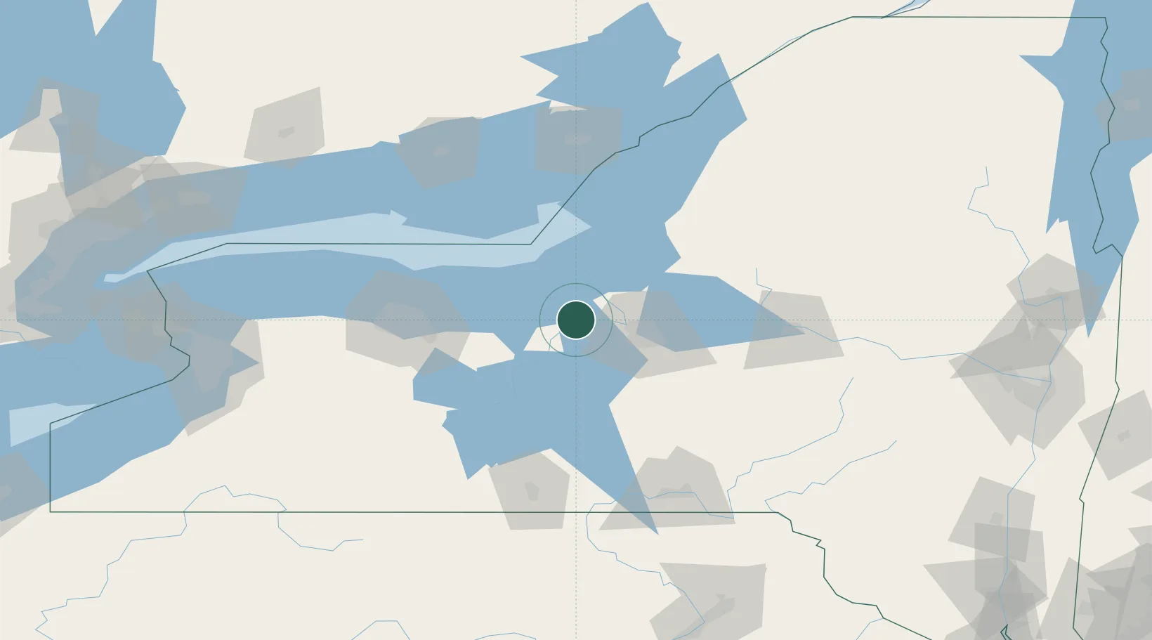
Populated place
Region
New York
Population
521
Time zone
America/New_York
Elevation
140 m
Location
Nearby Logistics Neighbours
Cities
- 1Plainville11 km
- 2Weedsport15 km
- 3Centerport, Gayuga15 km
- 4Elbridge18 km
- 5Baldwinsville19 km
Ports
- 1Oswego34 km
- 2Sodus Bay36 km
- 3Rochester85 km
- 4Picton105 km
- 5Wolfe Island115 km
Airports
Trade Zones
- 1FTZ No. 090 Onondaga32 km
- 2FTZ No. 172 Oneida County44 km
- 3FTZ No. 289 Ontario County91 km
- 4FTZ No. 109 Watertown106 km
- 5FTZ No. 141 Monroe County114 km
DatabookThe Record of Consolidated Knowledge
United States beyond logistics?