UN/LOCODE hub · United States
USYP5
Purchase
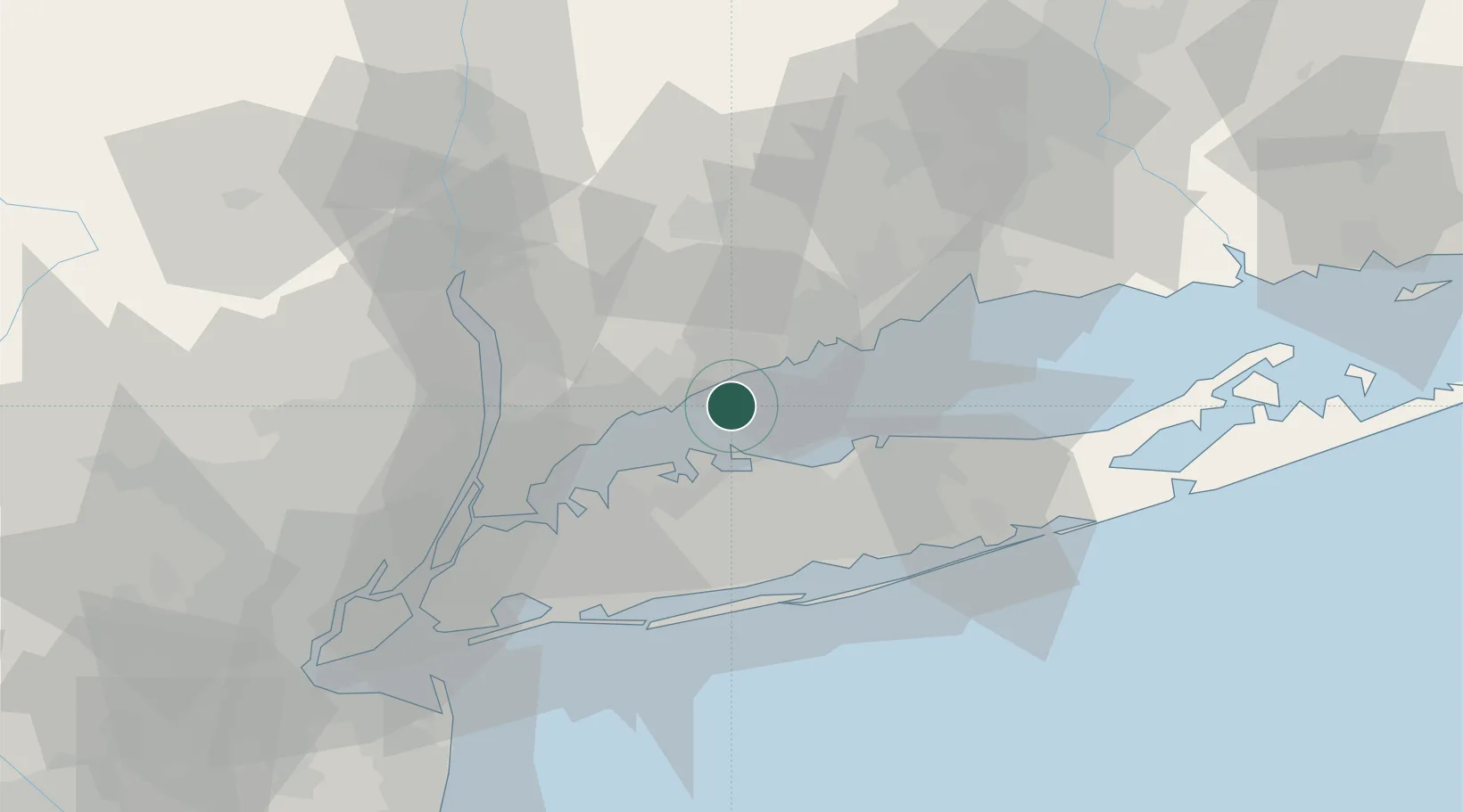
41.0333°, -73.4000°
4,660
Population
2
Transport functions
Transport Functions
Port
Multimodal
Hub Profile
Place type
Populated place
Region
New York
Population
4,660
Time zone
America/New_York
Elevation
107 m
Location
Nearby Logistics Neighbours
Cities
- 1Cold Spring Harbor19 km
- 2East Northport20 km
- 3Kings Park20 km
- 4Huntington Station20 km
- 5Pound Ridge23 km
Ports
- 1Norwalk8 km
- 2Stamford13 km
- 3Southport15 km
- 4Greenwich18 km
- 5Port Chester23 km
Airports
Trade Zones
DatabookThe Record of Consolidated Knowledge
United States beyond logistics?