UN/LOCODE hub · United Kingdom
GBEXE

Exeter

50.7000°, -3.5333°
130,709
Population
2
Transport functions

Transport Functions

Port
Airport
UN/LOCODE

Hub Profile

Place type
Provincial seat
GeoNames
Region
England
GeoNames
Population
130,709
GeoNames
Time zone
Europe/London
GeoNames
Elevation
46 m
GeoNames

Location

Location of GBEXE
Natural Earth 10m (public domain) · England · GBEXE · 50.70, -3.53GoogleOSMYandex

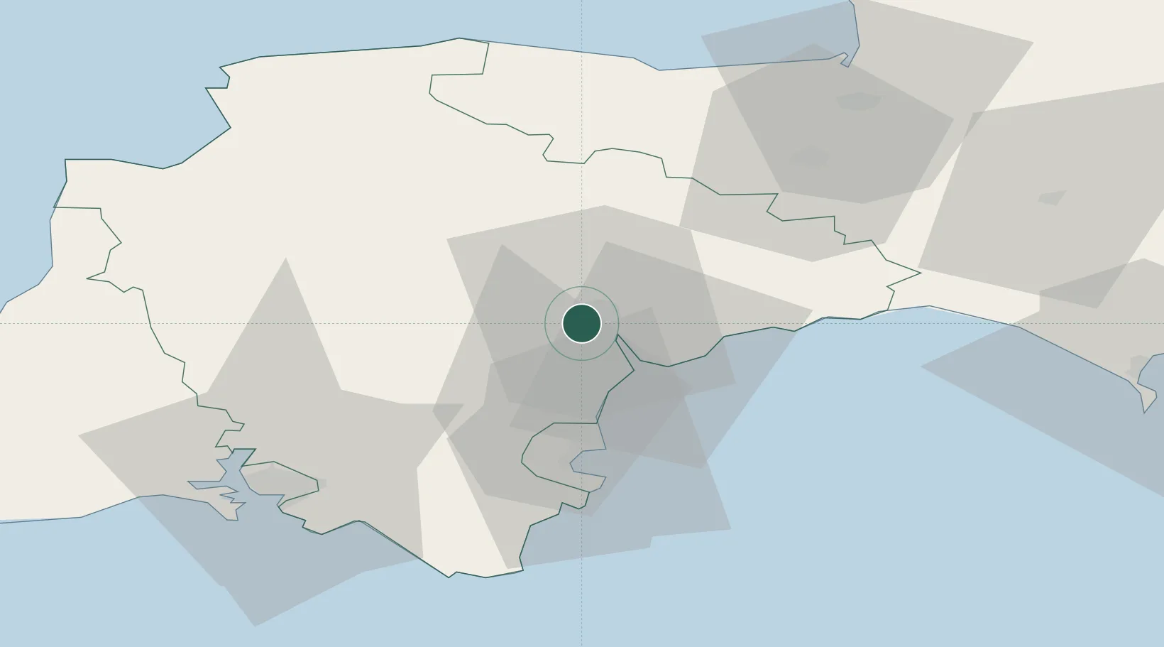
Nearby Logistics Neighbours

Cities
  1. 1Pinhoe6 km
  2. 2Topsham6 km
  3. 3Cockwood13 km
  4. 4Whimple15 km
  5. 5Budleigh Salterton16 km
Nearest neighbours — logibook spatial index (haversine) over the source coordinates
Ports
  1. 1Teignmouth Harbour17 km
  2. 2Torquay Harbour26 km
  3. 3Brixham Harbour33 km
  4. 4Dartmouth Harbour39 km
  5. 5Bridport Harbour54 km
Nearest neighbours — logibook spatial index (haversine) over the source coordinates
Airports
  1. 1Exeter International Airport9 km
  2. 2Royal Marines Base Chivenor61 km
  3. 3RNAS Yeovilton72 km
  4. 4Hartland Point Heliport78 km
  5. 5Cardiff International Airport79 km
Nearest neighbours — logibook spatial index (haversine) over the source coordinates
Trade Zones
  1. 1Exeter & East Devon Enterprise Zone7 km
  2. 2Heart of the South West Enterprise Zone52 km
  3. 3Oceansgate Plymouth59 km
  4. 4Dorset Innovation Park90 km
  5. 5Bristol Temple Quarter Enterprise Zone107 km
Nearest neighbours — logibook spatial index (haversine) over the source coordinates
DatabookThe Record of Consolidated Knowledge
United Kingdom beyond logistics?
Browse databook

All Sources

LocationsUN/LOCODE
UN/LOCODE — free
LocationsGeoNames
CC BY 4.0
Portsthe NGA World Port Index
Public domain (US gov)
AirportsOurAirports
Public domain
Trade Zonesthe World Bank SEZ database
CC BY 4.0
Trade ZonesOpen Zone Map
CC BY
← United Kingdom locations