UN/LOCODE hub · United Kingdom
GBBUA
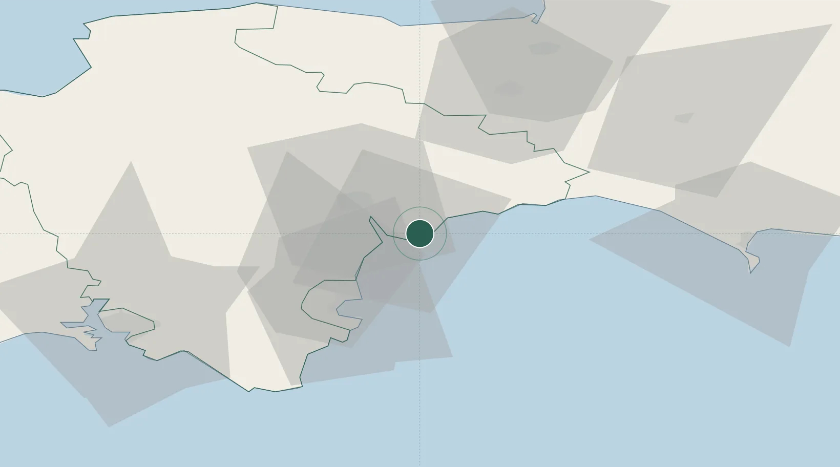
Budleigh Salterton
50.6333°, -3.3333°
5,185
Population
2
Transport functions
Transport Functions
Port
Road
Hub Profile
Place type
Populated place
Region
England
Population
5,185
Time zone
Europe/London
Elevation
22 m
Location
Nearby Logistics Neighbours
Cities
- 1Exmouth7 km
- 2Cockwood8 km
- 3Sidmouth8 km
- 4Topsham10 km
- 5Teignmouth13 km
Ports
- 1Teignmouth Harbour15 km
- 2Torquay Harbour23 km
- 3Brixham Harbour29 km
- 4Dartmouth Harbour37 km
- 5Bridport Harbour41 km
Airports
- 1Exeter International Airport13 km
- 2RNAS Yeovilton64 km
- 3Royal Marines Base Chivenor76 km
- 4Cardiff International Airport85 km
- 5MOD St Athan86 km
Trade Zones
DatabookThe Record of Consolidated Knowledge
United Kingdom beyond logistics?