Export Processing Zone · Rwanda

Musanze Industrial Park Under Development
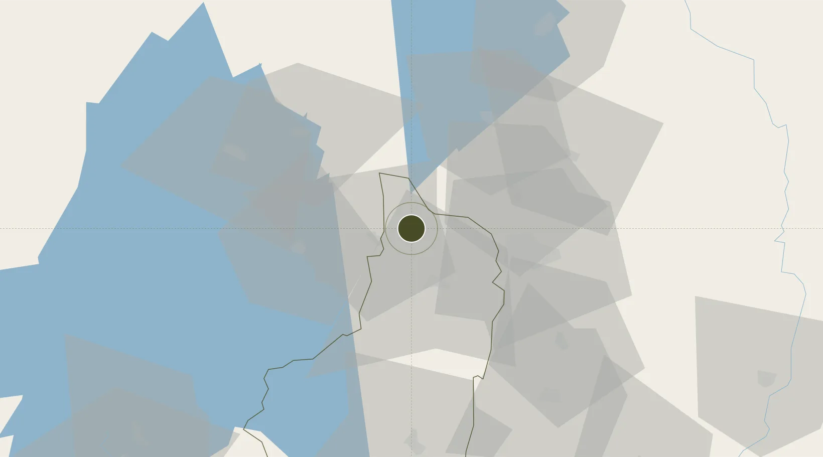
-1.8930°, 29.7509°
50 ha
Zone area
1,098.2 km
Nearest port
44.0 km
Nearest airport

Gateway access

Nearest neighbours — logibook spatial index (haversine) over the source coordinates

Zone profile

Zone type
Export Processing Zone
Open Zone Map
Region
Southern
Open Zone Map
Status
Under Development
Open Zone Map
Management
Private
Open Zone Map
Operator
Prime Cement Limited
Open Zone Map
Legal framework
Law No. 05/2011 of Regulating Special Economic Zones in Rwanda
Open Zone Map

Location

Location of ozm-4032
Natural Earth 10m (public domain) · Southern · ozm-4032 · -1.89, 29.75GoogleOSMYandex

Nearby Logistics Neighbours

Ports
  1. 1Tanga1098 km
  2. 2Mombasa1127 km
  3. 3Kilifi1140 km
  4. 4Zanzibar1149 km
  5. 5Malindi1163 km
Nearest neighbours — logibook spatial index (haversine) over the source coordinates
Airports
  1. 1Kigali International Airport44 km
  2. 2Gisenyi Airport60 km
  3. 3Goma International Airport62 km
  4. 4Kisoro Airport68 km
  5. 5Kirundo Airport82 km
Nearest neighbours — logibook spatial index (haversine) over the source coordinates
Cities
  1. 1Mutara36 km
  2. 2Nyagatare93 km
  3. 3Cibitoke166 km
  4. 4Kibondo216 km
  5. 5Kasulu300 km
Nearest neighbours — logibook spatial index (haversine) over the source coordinates
Trade Zones
  1. 1Muhanga Industrial Park23 km
  2. 2Kicukiro SME Park40 km
  3. 3Nyabihu Industrial Park42 km
  4. 4Kigali Special Economic Zone46 km
  5. 5Bugesera Industrial Park48 km
Nearest neighbours — logibook spatial index (haversine) over the source coordinates
DatabookThe Record of Consolidated Knowledge
Rwanda beyond logistics?
Browse databook

All Sources

Trade ZonesOpen Zone Map
CC BY
Portsthe NGA World Port Index
Public domain (US gov)
AirportsOurAirports
Public domain
LocationsUN/LOCODE
UN/LOCODE — free
← Rwanda trade zones