Diversified Zone · China

Dayu Industrial Park Active
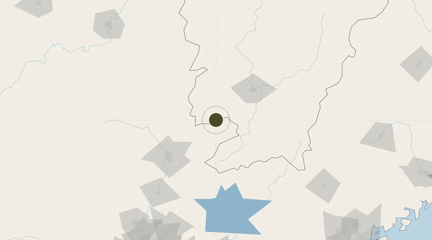
25.3655°, 114.3537°
400 ha
Zone area
271.0 km
Nearest port
33.5 km
Nearest airport

Gateway access

Nearest neighbours — logibook spatial index (haversine) over the source coordinates

Zone profile

Zone type
Diversified Zone
Open Zone Map
Region
Jiangxi
Open Zone Map
Status
Active
Open Zone Map
Management
Public
Open Zone Map
Operator
Dayu Industrial Park Management Committee
Open Zone Map
Legal framework
It was built in July 2001
Open Zone Map

Location

Location of ozm-457
Natural Earth 10m (public domain) · Jiangxi · ozm-457 · 25.37, 114.35GoogleOSMYandex

Nearby Logistics Neighbours

Ports
  1. 1Huangpu271 km
  2. 2Huangpuxingang272 km
  3. 3Guangzhou275 km
  4. 4Huizhou295 km
  5. 5Yantian310 km
Nearest neighbours — logibook spatial index (haversine) over the source coordinates
Airports
  1. 1Xincheng Air Base34 km
  2. 2Ganzhou Huangjin Airport69 km
  3. 3Shaoguan Danxia Airport103 km
  4. 4Chenzhou Beihu Airport157 km
  5. 5Jinggangshan Airport170 km
Nearest neighbours — logibook spatial index (haversine) over the source coordinates
Cities
  1. 1Ganzhou61 km
  2. 2Shaoguan New Pt97 km
  3. 3Gaolan127 km
  4. 4Longhai164 km
  5. 5Xiniu184 km
Nearest neighbours — logibook spatial index (haversine) over the source coordinates
Trade Zones
  1. 1Chongyi Industrial Park33 km
  2. 2Shangyou Industrial Park52 km
  3. 3Xinfeng Industrial Park58 km
  4. 4Nankang Industrial Zone60 km
  5. 5Industrial Transfer Industrial Park, Renhua County62 km
Nearest neighbours — logibook spatial index (haversine) over the source coordinates
DatabookThe Record of Consolidated Knowledge
China beyond logistics?
Browse databook

All Sources

Trade ZonesOpen Zone Map
CC BY
Portsthe NGA World Port Index
Public domain (US gov)
AirportsOurAirports
Public domain
LocationsUN/LOCODE
UN/LOCODE — free
← China trade zones