Export Processing Zone · China

Nankang Industrial Zone Active
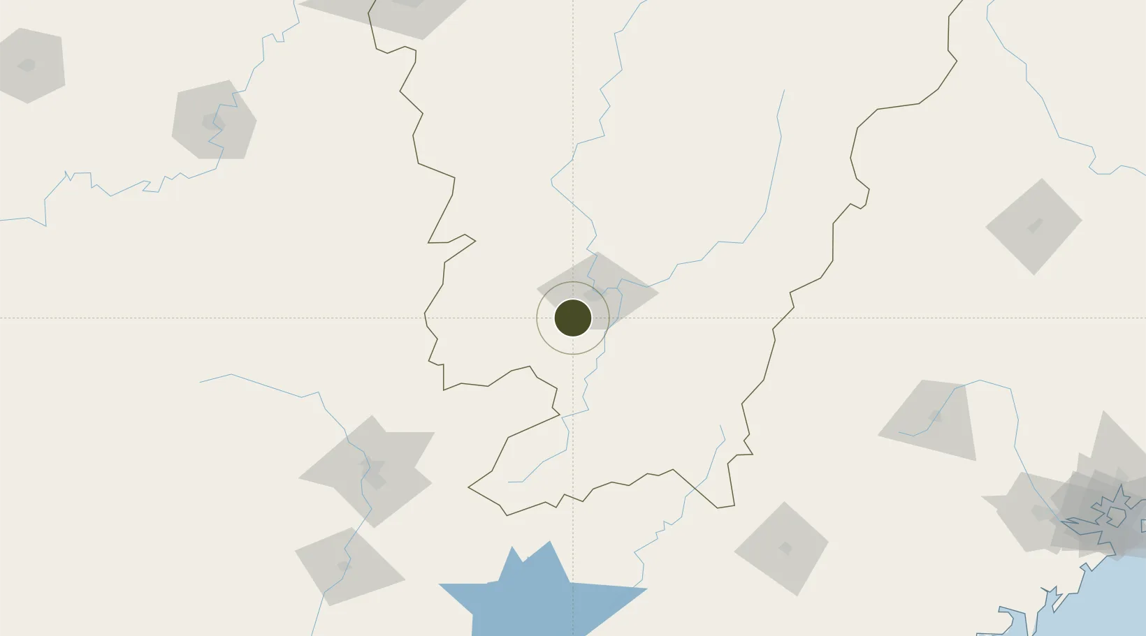
25.7104°, 114.8100°
513 ha
Zone area
324.2 km
Nearest port
16.2 km
Nearest airport

Gateway access

Nearest neighbours — logibook spatial index (haversine) over the source coordinates

Zone profile

Zone type
Export Processing Zone
Open Zone Map
Region
Jiangxi
Open Zone Map
Status
Active
Open Zone Map
Management
Public
Open Zone Map
Operator
Working Committee of Nankang Industrial Zone
Open Zone Map
Legal framework
Master Plan of Nankang City, Jiangxi Province (2009-2030)
Open Zone Map

Location

Location of ozm-1173
Natural Earth 10m (public domain) · Jiangxi · ozm-1173 · 25.71, 114.81GoogleOSMYandex

Nearby Logistics Neighbours

Ports
  1. 1Huangpuxingang324 km
  2. 2Huangpu324 km
  3. 3Chaozhou327 km
  4. 4Guangzhou330 km
  5. 5Huizhou334 km
Nearest neighbours — logibook spatial index (haversine) over the source coordinates
Airports
  1. 1Ganzhou Huangjin Airport16 km
  2. 2Xincheng Air Base26 km
  3. 3Jinggangshan Airport128 km
  4. 4Shaoguan Danxia Airport162 km
  5. 5Liancheng Guanzhishan Airport194 km
Nearest neighbours — logibook spatial index (haversine) over the source coordinates
Cities
  1. 1Ganzhou2 km
  2. 2Gaolan81 km
  3. 3Shaoguan New Pt157 km
  4. 4Longhai176 km
  5. 5Changsha216 km
Nearest neighbours — logibook spatial index (haversine) over the source coordinates
Trade Zones
  1. 1Ganzhou Economic Development Zone17 km
  2. 2Ganzhou Shahe Industrial Zone20 km
  3. 3Shangyou Industrial Park24 km
  4. 4Xinfeng Industrial Park32 km
  5. 5Dayu Industrial Park60 km
Nearest neighbours — logibook spatial index (haversine) over the source coordinates
DatabookThe Record of Consolidated Knowledge
China beyond logistics?
Browse databook

All Sources

Trade ZonesOpen Zone Map
CC BY
Portsthe NGA World Port Index
Public domain (US gov)
AirportsOurAirports
Public domain
LocationsUN/LOCODE
UN/LOCODE — free
← China trade zones