Free Trade Zone · China

Chongyi Industrial Park Active
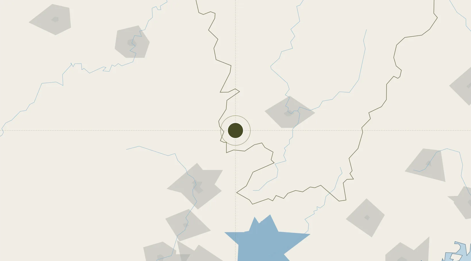
25.6005°, 114.1535°
14,766 ha
Zone area
289.7 km
Nearest port
47.1 km
Nearest airport

Gateway access

Nearest neighbours — logibook spatial index (haversine) over the source coordinates

Zone profile

Zone type
Free Trade Zone
Open Zone Map
Region
Jiangxi
Open Zone Map
Status
Active
Open Zone Map
Management
Public
Open Zone Map
Operator
Chongyi Industrial Park Management committee
Open Zone Map
Legal framework
Approved by the Jiangxi Provincial Government on June 13, 2016
Open Zone Map

Location

Location of ozm-1578
Natural Earth 10m (public domain) · Jiangxi · ozm-1578 · 25.60, 114.15GoogleOSMYandex

Nearby Logistics Neighbours

Ports
  1. 1Huangpu290 km
  2. 2Huangpuxingang291 km
  3. 3Guangzhou292 km
  4. 4Huizhou323 km
  5. 5Yantian336 km
Nearest neighbours — logibook spatial index (haversine) over the source coordinates
Airports
  1. 1Xincheng Air Base47 km
  2. 2Ganzhou Huangjin Airport69 km
  3. 3Shaoguan Danxia Airport101 km
  4. 4Chenzhou Beihu Airport132 km
  5. 5Jinggangshan Airport151 km
Nearest neighbours — logibook spatial index (haversine) over the source coordinates
Cities
  1. 1Ganzhou68 km
  2. 2Shaoguan New Pt104 km
  3. 3Longhai131 km
  4. 4Gaolan145 km
  5. 5Xiniu192 km
Nearest neighbours — logibook spatial index (haversine) over the source coordinates
Trade Zones
  1. 1Dayu Industrial Park33 km
  2. 2Shangyou Industrial Park48 km
  3. 3Guidong Industrial Concentration Zone56 km
  4. 4Nankang Industrial Zone67 km
  5. 5Industrial Transfer Industrial Park, Renhua County74 km
Nearest neighbours — logibook spatial index (haversine) over the source coordinates
DatabookThe Record of Consolidated Knowledge
China beyond logistics?
Browse databook

All Sources

Trade ZonesOpen Zone Map
CC BY
Portsthe NGA World Port Index
Public domain (US gov)
AirportsOurAirports
Public domain
LocationsUN/LOCODE
UN/LOCODE — free
← China trade zones