Transport Functions
Rail
Road
Multimodal
Hub Profile
Place type
Provincial seat
Region
Jiangxi
Population
1,977,253
Time zone
Asia/Shanghai
Elevation
117 m
Logistics facilities
4
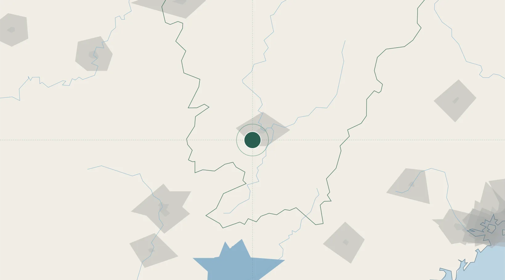
Location
Nearby Logistics Neighbours
Cities
- 1Gaolan80 km
- 2Shaoguan New Pt159 km
- 3Longhai176 km
- 4Changsha216 km
- 5Xinyu231 km
Ports
- 1Huangpuxingang326 km
- 2Huangpu326 km
- 3Chaozhou328 km
- 4Guangzhou331 km
- 5Huizhou336 km
Airports
- 1Ganzhou Huangjin Airport15 km
- 2Xincheng Air Base28 km
- 3Jinggangshan Airport126 km
- 4Shaoguan Danxia Airport163 km
- 5Liancheng Guanzhishan Airport193 km
Trade Zones
DatabookThe Record of Consolidated Knowledge
China beyond logistics?