Transport Functions
Multimodal
Hub Profile
Place type
Populated place
Region
Jiangxi
Time zone
Asia/Shanghai
Elevation
225 m
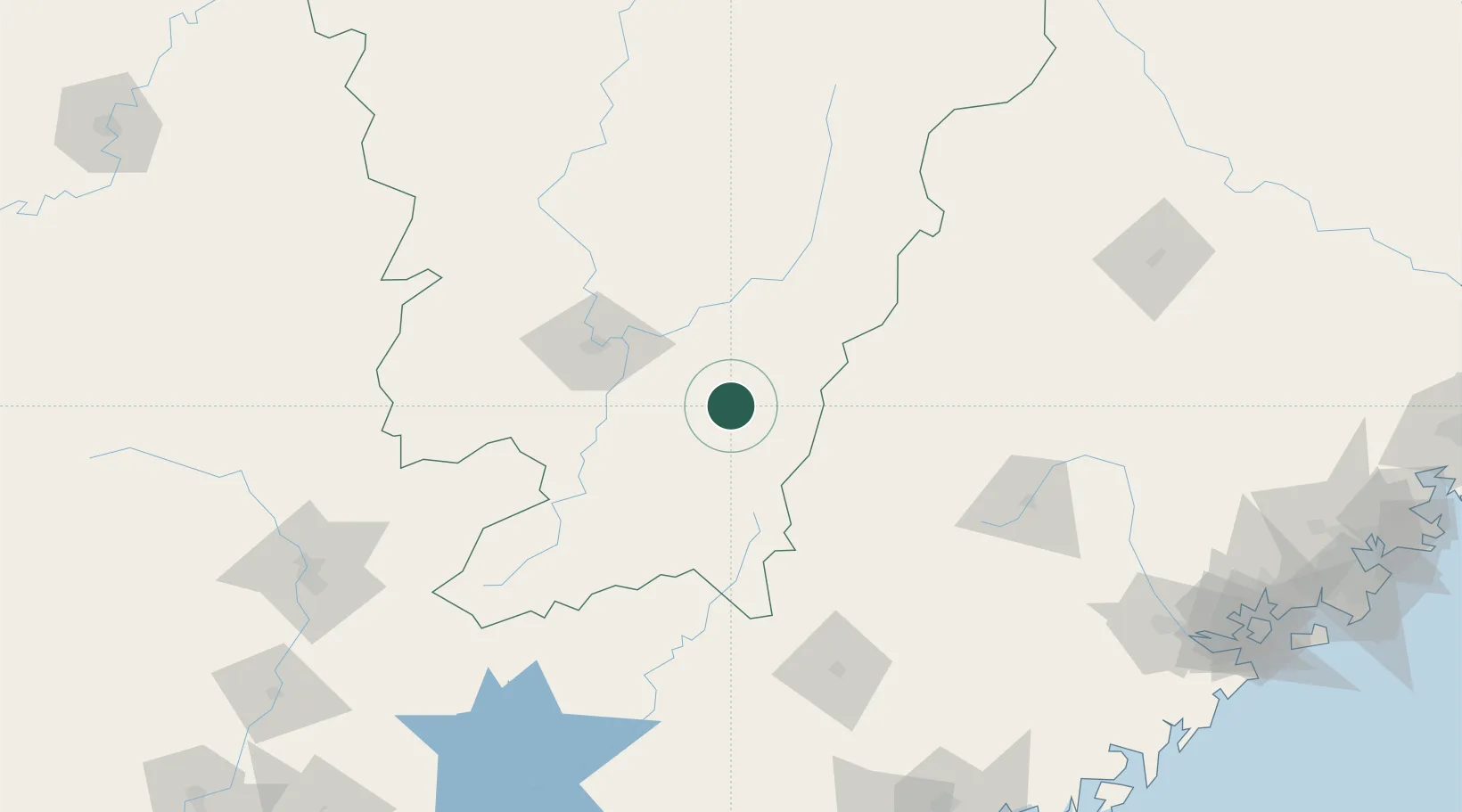
Location
Nearby Logistics Neighbours
Cities
- 1Ganzhou80 km
- 2Changsha162 km
- 3Meisha Pt176 km
- 4Sanming / Shanming Shi215 km
- 5Shaoguan New Pt217 km
Airports
Trade Zones
DatabookThe Record of Consolidated Knowledge
China beyond logistics?