Small airport · China

Ganzhou Huangjin AirportZSGZ
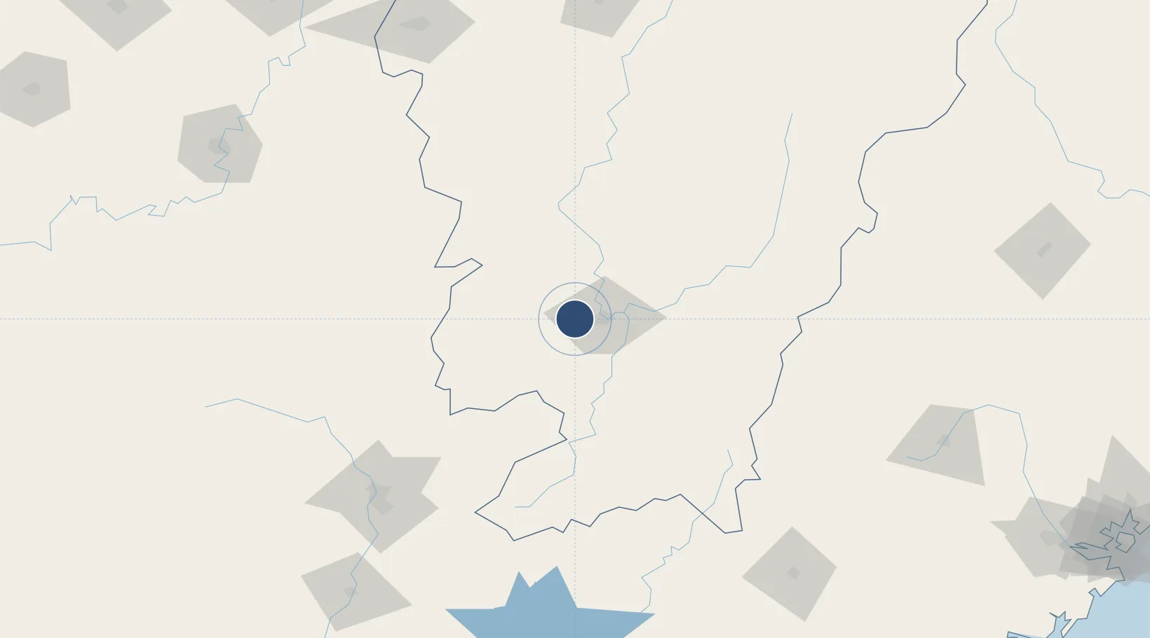
25.8533°, 114.7789°
8,530 ft
Longest runway
1
Runways
387 ft
Elevation

Runway & Layout

Ganzhou Huangjin Airport runway & taxiway layout
Runway & taxiway layout — OpenStreetMap (ODbL) / OurAirports

Runways · 1

RunwayDimensions SurfaceTrue headingLit
07/25 8,530 × —ft
OurAirports

Airport Specifications

IATA code
KOW
OurAirports
ICAO code
ZSGZ
OurAirports
Airport class
Small airport
OurAirports
Scheduled service
Yes
OurAirports
Served city
Ganzhou
OurAirports

Location

Location of ZSGZ
Natural Earth 10m (public domain) · Jiangxi · ZSGZ · 25.85, 114.78GoogleOSMYandex

Nearby Logistics Neighbours

Airports
  1. 1Xincheng Air Base38 km
  2. 2Jinggangshan Airport112 km
  3. 3Shaoguan Danxia Airport168 km
  4. 4Chenzhou Beihu Airport194 km
  5. 5Liancheng Guanzhishan Airport198 km
Nearest neighbours — logibook spatial index (haversine) over the source coordinates
Cities
  1. 1Ganzhou15 km
  2. 2Gaolan88 km
  3. 3Shaoguan New Pt165 km
  4. 4Longhai166 km
  5. 5Xinyu217 km
Nearest neighbours — logibook spatial index (haversine) over the source coordinates
Ports
  1. 1Huangpu337 km
  2. 2Huangpuxingang338 km
  3. 3Chaozhou341 km
  4. 4Guangzhou342 km
  5. 5Huizhou350 km
Nearest neighbours — logibook spatial index (haversine) over the source coordinates
Trade Zones
  1. 1Ganzhou Economic Development Zone13 km
  2. 2Nankang Industrial Zone16 km
  3. 3Ganzhou Shahe Industrial Zone20 km
  4. 4Shangyou Industrial Park21 km
  5. 5Xinfeng Industrial Park48 km
Nearest neighbours — logibook spatial index (haversine) over the source coordinates
DatabookThe Record of Consolidated Knowledge
China beyond logistics?
Browse databook

All Sources

AirportsOurAirports
Public domain
Portsthe NGA World Port Index
Public domain (US gov)
LocationsUN/LOCODE
UN/LOCODE — free
Trade Zonesthe World Bank SEZ database
CC BY 4.0
Trade ZonesOpen Zone Map
CC BY
InfrastructureOpenStreetMap
ODbL 1.0
← China airports