Transport Functions
Port
Road
Hub Profile
Place type
Populated place
Region
Yunnan
Time zone
Asia/Shanghai
Elevation
1,029 m
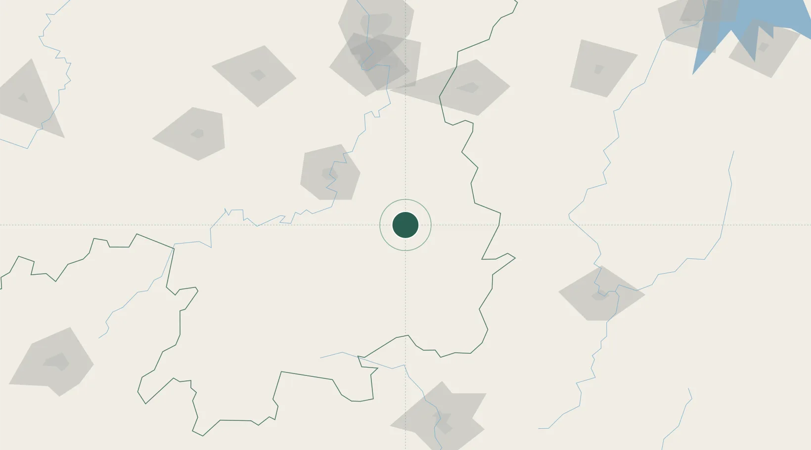
Location
Nearby Logistics Neighbours
Ports
- 1Guangzhou373 km
- 2Huangpu377 km
- 3Huangpuxingang381 km
- 4Huizhou436 km
- 5Yantian444 km
Airports
- 1Leiyang Air Base40 km
- 2Hengyang Nanyue Airport71 km
- 3Chenzhou Beihu Airport90 km
- 4Jinggangshan Airport152 km
- 5Yongzhou Lingling Airport166 km
DatabookThe Record of Consolidated Knowledge
China beyond logistics?