Medium airport · China

Chenzhou Beihu AirportZGCZ
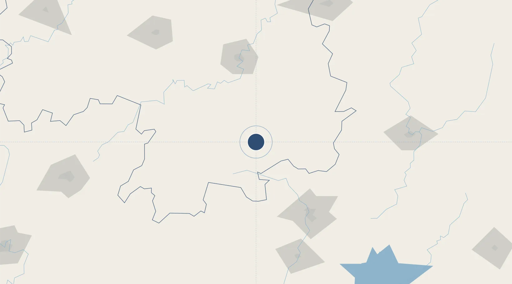
25.7534°, 112.8454°
8,530 ft
Longest runway
1
Runways
1,071 ft
Elevation

Runway & Layout

Chenzhou Beihu Airport runway & taxiway layout
Runway & taxiway layout — OpenStreetMap (ODbL) / OurAirports

Runways · 1

RunwayDimensions SurfaceTrue headingLit
07/25 8,530 × —ft
OurAirports

Airport Specifications

IATA code
HCZ
OurAirports
ICAO code
ZGCZ
OurAirports
Airport class
Medium airport
OurAirports
Scheduled service
Yes
OurAirports
Served city
Chenzhou
OurAirports

Location

Location of ZGCZ
Natural Earth 10m (public domain) · Hunan · ZGCZ · 25.75, 112.85GoogleOSMYandex

Nearby Logistics Neighbours

Airports
  1. 1Leiyang Air Base93 km
  2. 2Shaoguan Danxia Airport104 km
  3. 3Hengyang Nanyue Airport110 km
  4. 4Yongzhou Lingling Airport140 km
  5. 5Xincheng Air Base179 km
Nearest neighbours — logibook spatial index (haversine) over the source coordinates
Cities
  1. 1Longhai90 km
  2. 2Lianzhou121 km
  3. 3Hengyang128 km
  4. 4Shaoguan New Pt131 km
  5. 5Kaiyun165 km
Nearest neighbours — logibook spatial index (haversine) over the source coordinates
Ports
  1. 1Guangzhou296 km
  2. 2Huangpu303 km
  3. 3Huangpuxingang308 km
  4. 4Huizhou378 km
  5. 5Shekou380 km
Nearest neighbours — logibook spatial index (haversine) over the source coordinates
Trade Zones
  1. 1Guanyang County Industrial Concentration Zone13 km
  2. 2Yizhang Economic Development Zone41 km
  3. 3Zixing Economic Development Zone45 km
  4. 4Yongxing Economic Development Zone45 km
  5. 5Jiahe Economic Development Zone50 km
Nearest neighbours — logibook spatial index (haversine) over the source coordinates
DatabookThe Record of Consolidated Knowledge
China beyond logistics?
Browse databook

All Sources

AirportsOurAirports
Public domain
Portsthe NGA World Port Index
Public domain (US gov)
LocationsUN/LOCODE
UN/LOCODE — free
Trade Zonesthe World Bank SEZ database
CC BY 4.0
Trade ZonesOpen Zone Map
CC BY
InfrastructureOpenStreetMap
ODbL 1.0
← China airports