Diversified Zone · China

Xinfeng Industrial Park Active
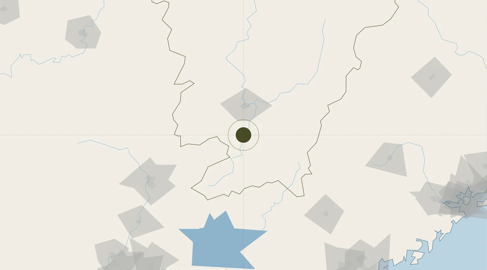
25.4382°, 114.9236°
667 ha
Zone area
297.9 km
Nearest port
32.9 km
Nearest airport

Gateway access

Nearest neighbours — logibook spatial index (haversine) over the source coordinates

Zone profile

Zone type
Diversified Zone
Open Zone Map
Region
Jiangxi
Open Zone Map
Status
Active
Open Zone Map
Management
Public
Open Zone Map
Operator
Management Committee of Xinfeng Industrial Park
Open Zone Map
Legal framework
It was founded in September 2001
Open Zone Map

Location

Location of ozm-589
Natural Earth 10m (public domain) · Jiangxi · ozm-589 · 25.44, 114.92GoogleOSMYandex

Nearby Logistics Neighbours

Ports
  1. 1Chaozhou298 km
  2. 2Huangpuxingang302 km
  3. 3Huangpu303 km
  4. 4Huizhou305 km
  5. 5Guangzhou310 km
Nearest neighbours — logibook spatial index (haversine) over the source coordinates
Airports
  1. 1Xincheng Air Base33 km
  2. 2Ganzhou Huangjin Airport48 km
  3. 3Jinggangshan Airport159 km
  4. 4Shaoguan Danxia Airport160 km
  5. 5Meizhou Meixian Changgangji International Airport176 km
Nearest neighbours — logibook spatial index (haversine) over the source coordinates
Cities
  1. 1Ganzhou34 km
  2. 2Gaolan69 km
  3. 3Shaoguan New Pt150 km
  4. 4Changsha185 km
  5. 5Longhai201 km
Nearest neighbours — logibook spatial index (haversine) over the source coordinates
Trade Zones
  1. 1Nankang Industrial Zone32 km
  2. 2Ganzhou Shahe Industrial Zone42 km
  3. 3Ganzhou Economic Development Zone44 km
  4. 4Shangyou Industrial Park51 km
  5. 5Dayu Industrial Park58 km
Nearest neighbours — logibook spatial index (haversine) over the source coordinates
DatabookThe Record of Consolidated Knowledge
China beyond logistics?
Browse databook

All Sources

Trade ZonesOpen Zone Map
CC BY
Portsthe NGA World Port Index
Public domain (US gov)
AirportsOurAirports
Public domain
LocationsUN/LOCODE
UN/LOCODE — free
← China trade zones