Transport Functions
Road
Multimodal
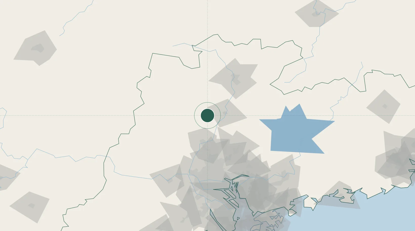
Hub Profile
Place type
Local administrative seat
Region
Guangdong
Time zone
Asia/Shanghai
Elevation
34 m
Location
Nearby Logistics Neighbours
Cities
- 1Qingyuan52 km
- 2Shaoguan New Pt88 km
- 3Zhuliao90 km
- 4Huadu Pt91 km
- 5Xiangang94 km
Ports
- 1Guangzhou116 km
- 2Huangpu123 km
- 3Huangpuxingang128 km
- 4Shekou202 km
- 5Yantian210 km
Airports
DatabookThe Record of Consolidated Knowledge
China beyond logistics?