Export Processing Zone · China

Shangyou Industrial Park Active
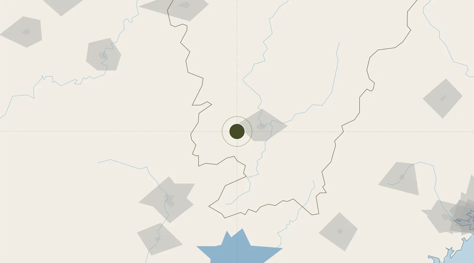
25.7819°, 114.5882°
1,200 ha
Zone area
322.7 km
Nearest port
20.7 km
Nearest airport

Gateway access

Nearest neighbours — logibook spatial index (haversine) over the source coordinates

Zone profile

Zone type
Export Processing Zone
Open Zone Map
Region
Jiangxi
Open Zone Map
Status
Active
Open Zone Map
Management
Public
Open Zone Map
Operator
Working Committee of Shangyou Industrial Park
Open Zone Map
Legal framework
Overall Urban Planning of Shangyu County (2010-2030)
Open Zone Map

Location

Location of ozm-1283
Natural Earth 10m (public domain) · Jiangxi · ozm-1283 · 25.78, 114.59GoogleOSMYandex

Nearby Logistics Neighbours

Ports
  1. 1Huangpu323 km
  2. 2Huangpuxingang323 km
  3. 3Guangzhou327 km
  4. 4Huizhou341 km
  5. 5Chaozhou349 km
Nearest neighbours — logibook spatial index (haversine) over the source coordinates
Airports
  1. 1Ganzhou Huangjin Airport21 km
  2. 2Xincheng Air Base26 km
  3. 3Jinggangshan Airport120 km
  4. 4Shaoguan Danxia Airport147 km
  5. 5Chenzhou Beihu Airport175 km
Nearest neighbours — logibook spatial index (haversine) over the source coordinates
Cities
  1. 1Ganzhou24 km
  2. 2Gaolan104 km
  3. 3Shaoguan New Pt147 km
  4. 4Longhai152 km
  5. 5Xinyu227 km
Nearest neighbours — logibook spatial index (haversine) over the source coordinates
Trade Zones
  1. 1Nankang Industrial Zone24 km
  2. 2Ganzhou Economic Development Zone32 km
  3. 3Ganzhou Shahe Industrial Zone39 km
  4. 4Chongyi Industrial Park48 km
  5. 5Xinfeng Industrial Park51 km
Nearest neighbours — logibook spatial index (haversine) over the source coordinates
DatabookThe Record of Consolidated Knowledge
China beyond logistics?
Browse databook

All Sources

Trade ZonesOpen Zone Map
CC BY
Portsthe NGA World Port Index
Public domain (US gov)
AirportsOurAirports
Public domain
LocationsUN/LOCODE
UN/LOCODE — free
← China trade zones