UN/LOCODE hub · China
CNHSC

Shaoguan New Pt

24.8000°, 113.6167°
1
Transport functions

Transport Functions

Port
UN/LOCODE

Hub Profile

Region
GD
GeoNames

Location

Location of CNHSC
Natural Earth 10m (public domain) · GD · CNHSC · 24.80, 113.62GoogleOSMYandex

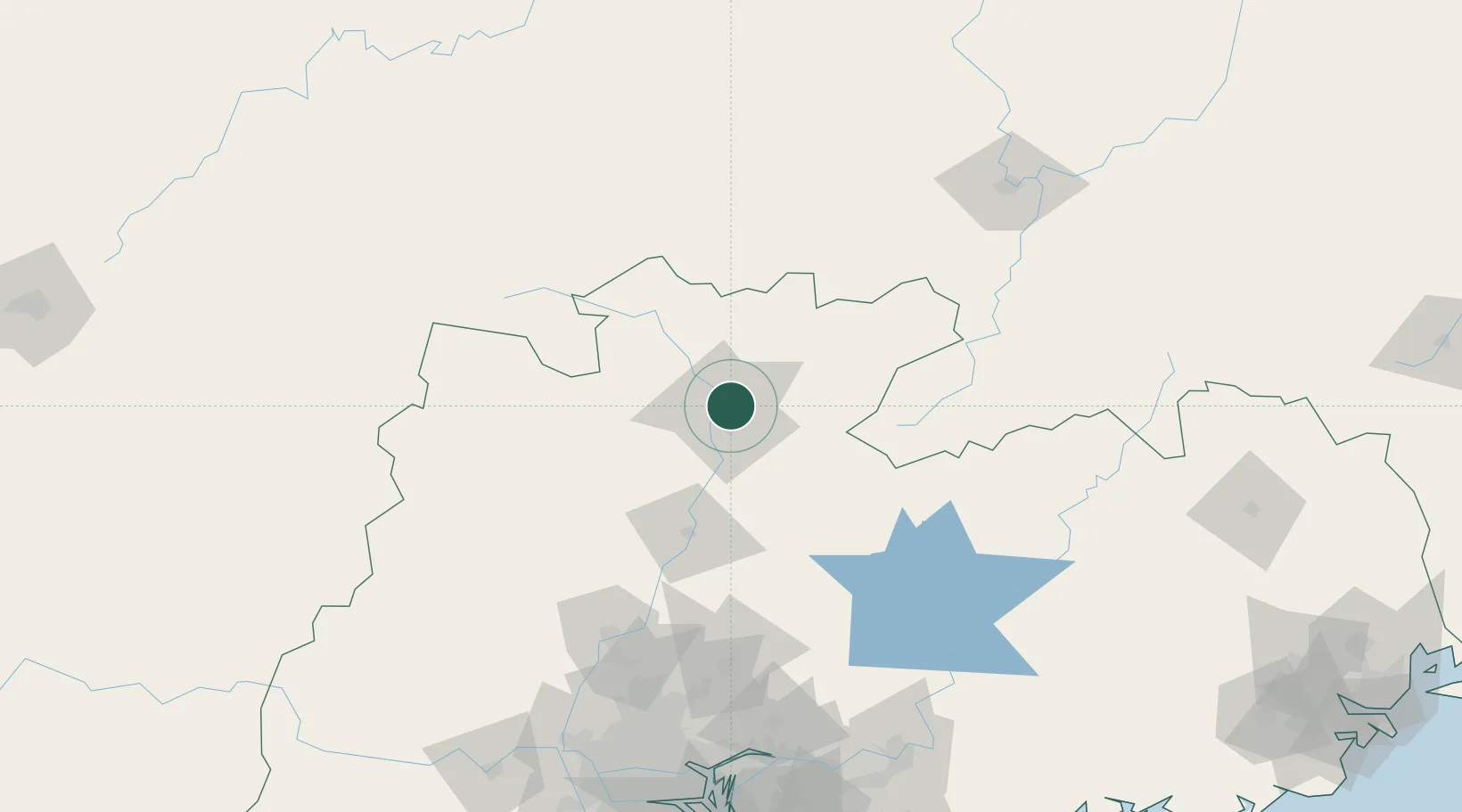
Nearby Logistics Neighbours

Cities
  1. 1Xiniu88 km
  2. 2Lianzhou128 km
  3. 3Qingyuan138 km
  4. 4Ganzhou159 km
  5. 5Zhuliao162 km
Nearest neighbours — logibook spatial index (haversine) over the source coordinates
Ports
  1. 1Guangzhou191 km
  2. 2Huangpu192 km
  3. 3Huangpuxingang195 km
  4. 4Huizhou249 km
  5. 5Yantian255 km
Nearest neighbours — logibook spatial index (haversine) over the source coordinates
Airports
  1. 1Shaoguan Danxia Airport28 km
  2. 2Xincheng Air Base131 km
  3. 3Chenzhou Beihu Airport131 km
  4. 4Guangzhou Baiyun International Airport160 km
  5. 5Ganzhou Huangjin Airport165 km
Nearest neighbours — logibook spatial index (haversine) over the source coordinates
DatabookThe Record of Consolidated Knowledge
China beyond logistics?
Browse databook

All Sources

LocationsUN/LOCODE
UN/LOCODE — free
Portsthe NGA World Port Index
Public domain (US gov)
AirportsOurAirports
Public domain
Trade Zonesthe World Bank SEZ database
CC BY 4.0
Trade ZonesOpen Zone Map
CC BY
← China locations