Transport Functions
Port
Road
Hub Profile
Place type
Populated place
Region
Trabzon
Time zone
Europe/Istanbul
Elevation
270 m
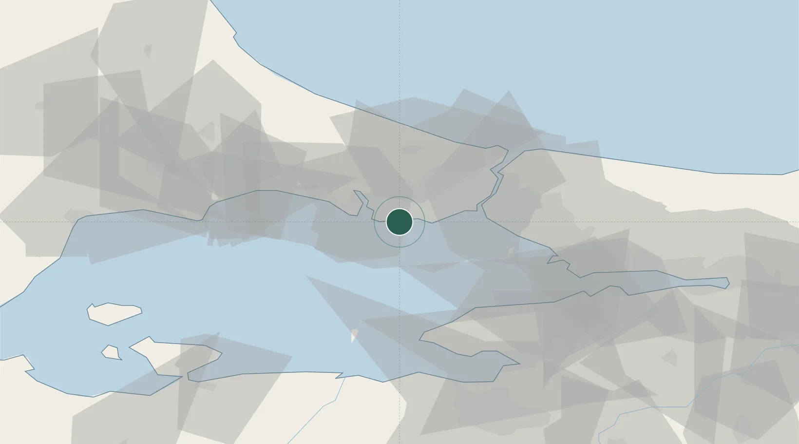
Location
Nearby Logistics Neighbours
Cities
- 1Firuzköy4 km
- 2Istanbul4 km
- 3Kumport10 km
- 4Mimarsinan14 km
- 5Davutpasa20 km
Ports
- 1Istanbul23 km
- 2Haydarpasa27 km
- 3Istinye34 km
- 4Mudanya67 km
- 5Gemlik71 km
Airports
Trade Zones
DatabookThe Record of Consolidated Knowledge
Türkiye beyond logistics?