Specialized Zone · Türkiye

TUBITAK Technology Free Zone and Technopark Active
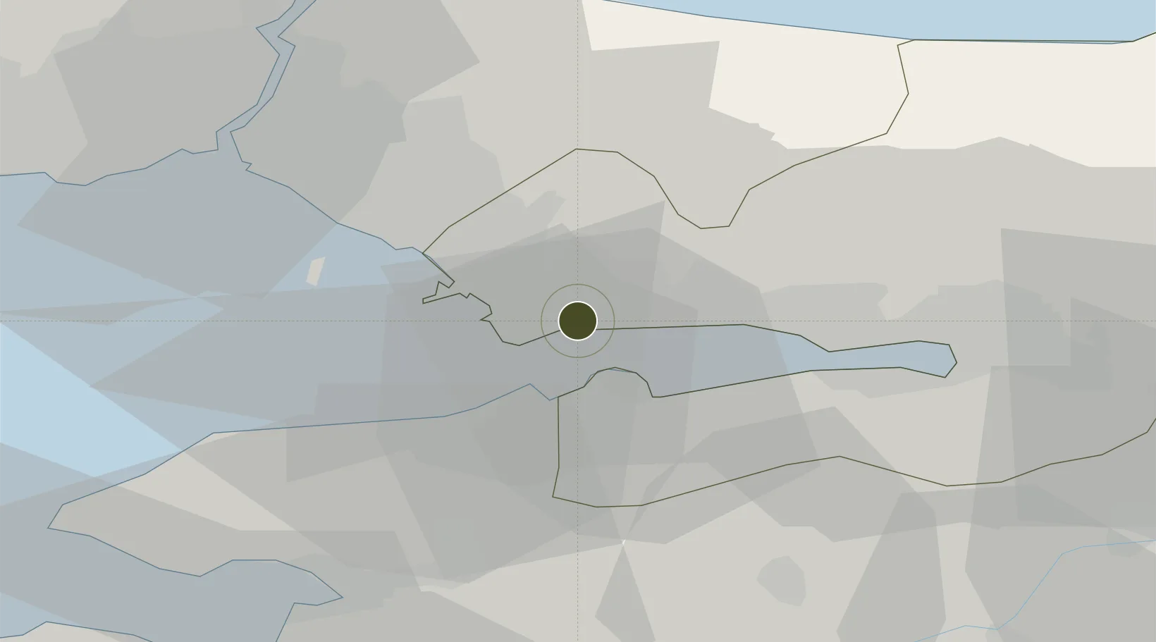
40.7886°, 29.4532°
1 ha
Zone area
8.5 km
Nearest port
17.2 km
Nearest airport

Gateway access

Nearest neighbours — logibook spatial index (haversine) over the source coordinates

Zone profile

Zone type
Specialized Zone
Open Zone Map
Specialization
Tech
Open Zone Map
Region
Kocaeli
Open Zone Map
Status
Active
Open Zone Map
Management
Public-Private Partnership
Open Zone Map
Operator
TUBITAK Marmara Rresearch Center Technology Free Zone
Open Zone Map
Legal framework
Free Zones Law: Law Nr. 3218 Approved: June 6, 1985
Open Zone Map

Location

Location of ozm-4582
Natural Earth 10m (public domain) · Kocaeli · ozm-4582 · 40.79, 29.45GoogleOSMYandex

Nearby Logistics Neighbours

Ports
  1. 1Gebze9 km
  2. 2Yarimca21 km
  3. 3Derince Burnu31 km
  4. 4Golcuk Burnu31 km
  5. 5Izmit39 km
Nearest neighbours — logibook spatial index (haversine) over the source coordinates
Airports
  1. 1Istanbul Sabiha Gökçen International Airport17 km
  2. 2İstanbul Samandıra Army Air Base30 km
  3. 3Cengiz Topel Airport53 km
  4. 4İstanbul Atatürk Airport57 km
  5. 5Bursa Yenişehir Airport60 km
Nearest neighbours — logibook spatial index (haversine) over the source coordinates
Cities
  1. 1Gebze4 km
  2. 2Yilport7 km
  3. 3Sekerpinar10 km
  4. 4Altinova12 km
  5. 5Tuzla15 km
Nearest neighbours — logibook spatial index (haversine) over the source coordinates
Trade Zones
  1. 1TÜBā°TAK Technology Free Zone and Technopark0 km
  2. 2Kocaeli Gebze Dilovasi Organized Industrial Zone7 km
  3. 3Gebze Organized Industrial Zone7 km
  4. 4Istanbul Leather Industry Free Zone12 km
  5. 5Kocaeli Free Zone35 km
Nearest neighbours — logibook spatial index (haversine) over the source coordinates
DatabookThe Record of Consolidated Knowledge
Türkiye beyond logistics?
Browse databook

All Sources

Trade ZonesOpen Zone Map
CC BY
Portsthe NGA World Port Index
Public domain (US gov)
AirportsOurAirports
Public domain
LocationsUN/LOCODE
UN/LOCODE — free
← Türkiye trade zones