About
Methodology
Sources
Licensing
English
EN
English
TR
Türkçe
DE
Deutsch
FR
Français
ES
Español
IT
Italiano
PT
Português
NL
Nederlands
PL
Polski
RU
Русский
UK
Українська
CS
Čeština
RO
Română
EL
Ελληνικά
BG
Български
AR
العربية
FA
فارسی
UR
اردو
HI
हिन्दी
BN
বাংলা
ID
Bahasa Indonesia
VI
Tiếng Việt
ZH
中文
JA
日本語
KO
한국어
logibook
/
Countries
/
Türkiye
/
Locations
/
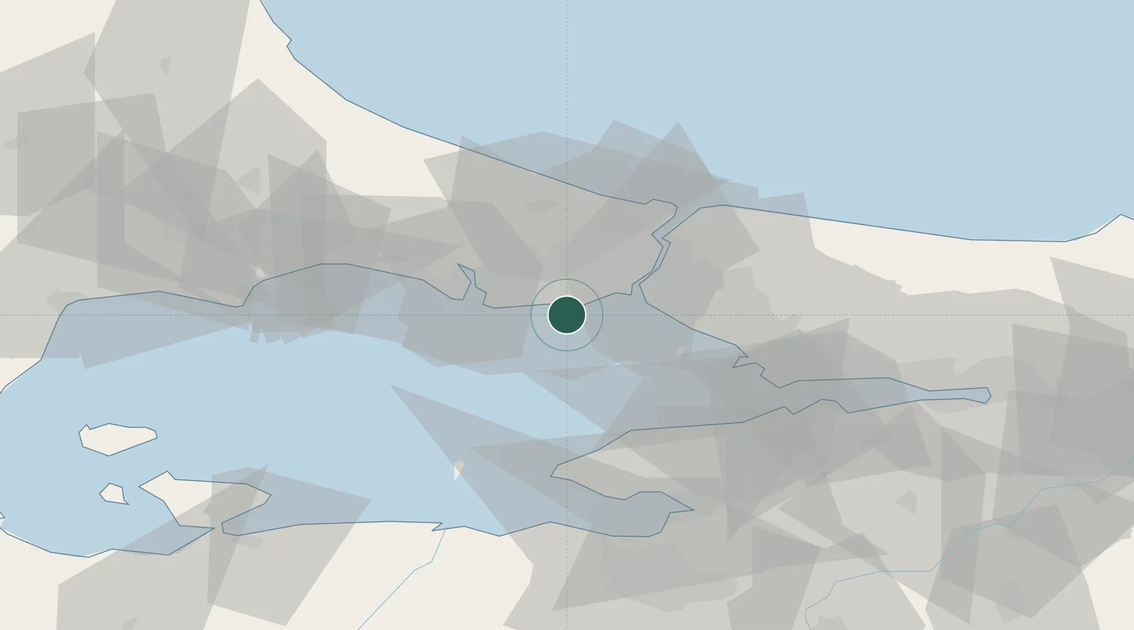
Kumport
UN/LOCODE hub ·
Türkiye
TR
KMX
Kumport
40.9500°, 28.8167°
3
Transport functions
Transport Functions
Port
Rail
Road
UN/LOCODE
Hub Profile
Region
34
GeoNames
Location
Natural Earth 10m (public domain) · 34 · TRKMX · 40.95, 28.82
Google ↗
OSM ↗
Yandex ↗
Nearby Logistics Neighbours
Cities
1
Ambarli
10 km
2
Istanbul
11 km
3
Davutpasa
11 km
4
Firuzköy
11 km
5
Mardas
13 km
Nearest neighbours — logibook spatial index (haversine) over the source coordinates
Ports
1
Ambarli
10 km
2
Istanbul
15 km
3
Haydarpasa
18 km
4
Istinye
27 km
5
Mudanya
63 km
Nearest neighbours — logibook spatial index (haversine) over the source coordinates
Airports
1
İstanbul Atatürk Airport
3 km
2
İstanbul Samandıra Army Air Base
34 km
3
İstanbul Airport
37 km
4
Istanbul Sabiha Gökçen International Airport
42 km
5
Tekirdağ Çorlu Airport
78 km
Nearest neighbours — logibook spatial index (haversine) over the source coordinates
Trade Zones
1
Istanbul Atatürk Airport Free Zone
4 km
2
Istanbul Stock Exchange Free Zone
26 km
3
Istanbul Tracia Free Zone
35 km
4
Istanbul Leather Industry Free Zone
48 km
5
Gebze Organized Industrial Zone
53 km
Nearest neighbours — logibook spatial index (haversine) over the source coordinates
Data
book
The Record of Consolidated Knowledge
Türkiye beyond logistics?
Browse databook
→
All Sources
Locations
UN/LOCODE
UN/LOCODE — free
↗
Ports
the NGA World Port Index
Public domain (US gov)
↗
Airports
OurAirports
Public domain
↗
Trade Zones
the World Bank SEZ database
CC BY 4.0
↗
Trade Zones
Open Zone Map
CC BY
↗
← Türkiye locations