Transport Functions
Port
Road
Hub Profile
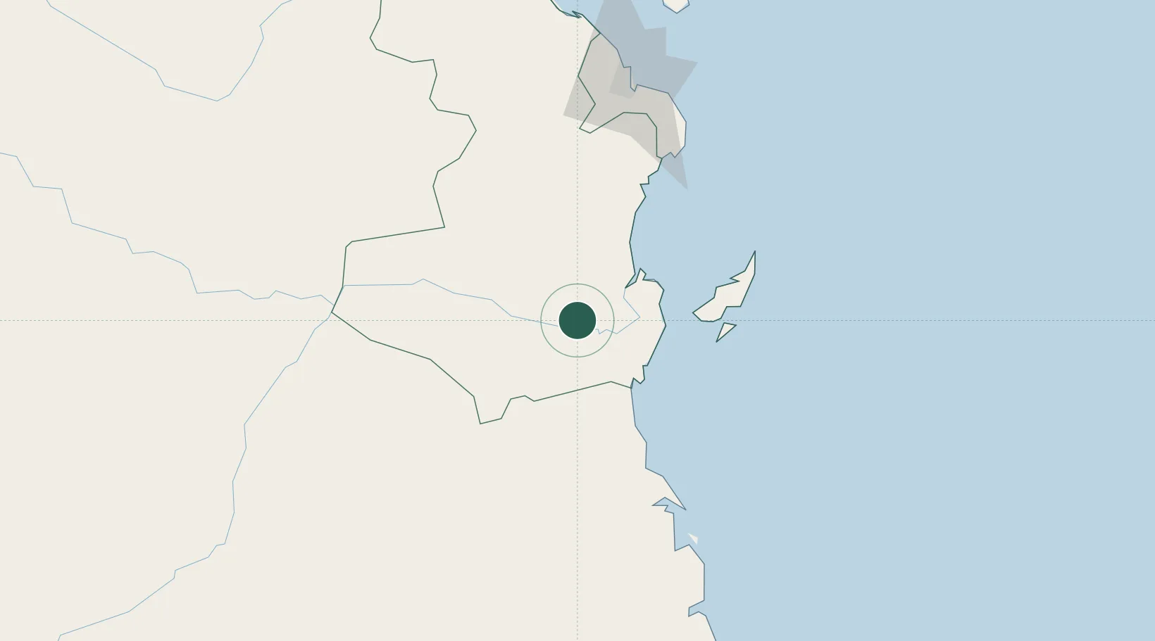
Place type
Populated place
Region
Pwani
Population
45,000
Time zone
Africa/Dar_es_Salaam
Elevation
30 m
Location
Nearby Logistics Neighbours
Cities
- 1African Inland Container Depot130 km
- 2Dar es Salaam130 km
- 3Kibaha136 km
- 4Zanzibar204 km
- 5Mtwara285 km
Ports
- 1Kilwa Kivinje94 km
- 2Dar Es Salaam133 km
- 3Zanzibar203 km
- 4Mikindani282 km
- 5Mtwara285 km
Airports
- 1Mafia Airport72 km
- 2Julius Nyerere International Airport125 km
- 3Abeid Amani Karume International Airport197 km
- 4Mtwara Airport291 km
- 5Pemba Airport316 km
Trade Zones
DatabookThe Record of Consolidated Knowledge
Tanzania beyond logistics?