Transport Functions
Port
Airport
Hub Profile
Place type
Regional capital
Region
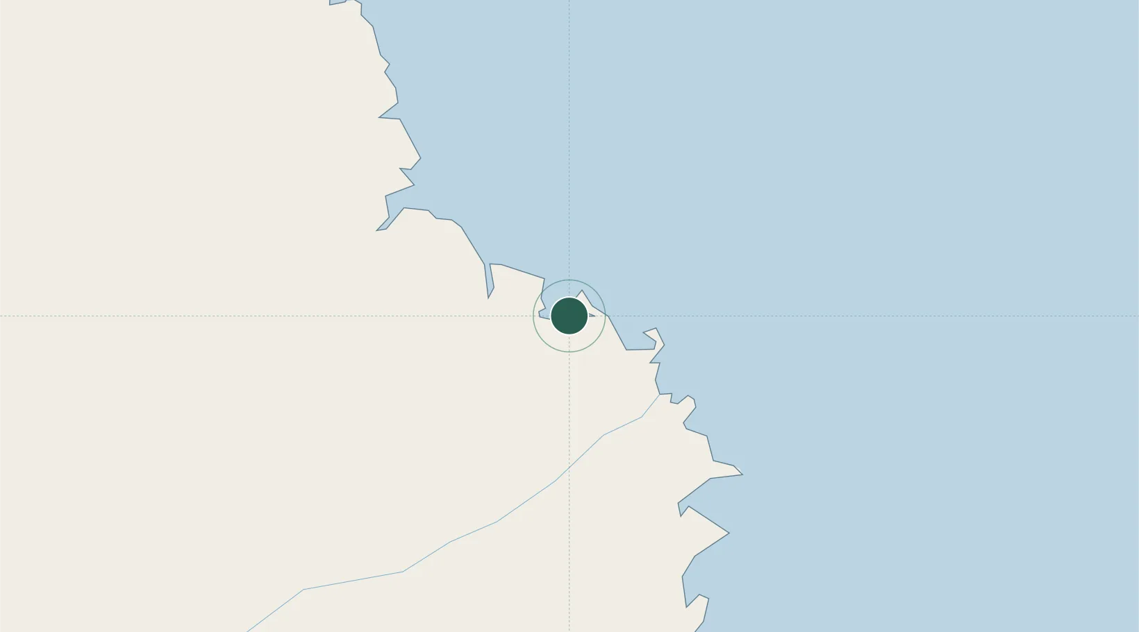
Mtwara
Population
140,793
Time zone
Africa/Dar_es_Salaam
Elevation
21 m
Logistics facilities
1
Location
Nearby Logistics Neighbours
Cities
- 1Mocímboa da Praia120 km
- 2Ikwiriri285 km
- 3Zambezia298 km
- 4Dar es Salaam396 km
- 5African Inland Container Depot396 km
Ports
- 1Mikindani7 km
- 2Kilwa Kivinje191 km
- 3Ibo234 km
- 4Pemba302 km
- 5Moroni369 km
Airports
- 1Mtwara Airport8 km
- 2Mocímboa da Praia Airport123 km
- 3Mueda Airport171 km
- 4Mafia Airport268 km
- 5Pemba Airport305 km
Trade Zones
DatabookThe Record of Consolidated Knowledge
Tanzania beyond logistics?