Seaport · Tanzania

MtwaraTZMYW

-10.2667°, 40.2000°
20.1 m
Channel depth
10.7
Port liner connectivity
Mtwara is also a UN/LOCODE logistics hub →

Channel & Berth Profile

SEA LEVEL (CD)CHANNEL BEDAnchorage · 4.9 mCargo pier · 9.4 mOil terminal · 9.4 mChannel · 20.1 m
NGA World Port Index

Pilotage, Tugs & Services

Pilotage compulsoryYES
Pilotage availableYES
Pilotage advisableYES
Tug assistanceYES
Shore powerYES
Potable waterYES
Diesel bunkersNO
MedicalYES
Garbage disposalYES
NGA World Port Index

Facilities & Capabilities

Container
Ro-Ro
Liquid bulk
Dry bulk
Oil terminal
Break bulk
Dry dock
RepairsNO
BunkeringNO
Rail link
Dangerous cargo
ISPS security
NGA World Port Index

Harbour Specifications

Harbour size
Very Small
NGA World Port Index
Harbour type
Coastal (Breakwater)
NGA World Port Index
Shelter
Good
NGA World Port Index
Water body
Indian Ocean
NGA World Port Index
Tidal range
3 m
NGA World Port Index
Pilotage
Yes
NGA World Port Index

Liner Connectivity

10.7
PLSCI

Port Liner Shipping Connectivity Index for Mtwara, as published by UNCTAD for the latest available quarter. Higher values indicate stronger scheduled liner-shipping integration.

Shown relative to the highest per-port PLSCI in the dataset (1,657.9).
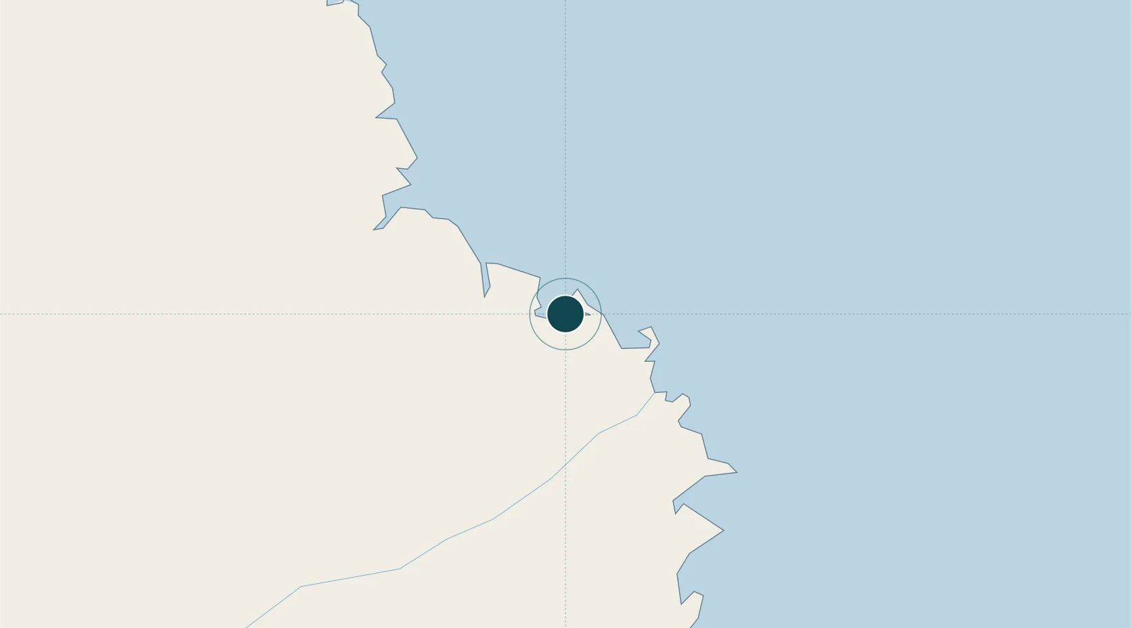
UNCTAD · Port Liner Shipping Connectivity Index

Location

Location of TZMYW
Natural Earth 10m (public domain) · Mtwara · TZMYW · -10.27, 40.20GoogleOSMYandex

Nearby Logistics Neighbours

Ports
  1. 1Mikindani7 km
  2. 2Kilwa Kivinje191 km
  3. 3Ibo234 km
  4. 4Pemba302 km
  5. 5Moroni369 km
Nearest neighbours — logibook spatial index (haversine) over the source coordinates
Cities
  1. 1Mocímboa da Praia120 km
  2. 2Ikwiriri285 km
  3. 3Zambezia298 km
  4. 4Dar es Salaam396 km
  5. 5African Inland Container Depot396 km
Nearest neighbours — logibook spatial index (haversine) over the source coordinates
Airports
  1. 1Mtwara Airport8 km
  2. 2Mocímboa da Praia Airport123 km
  3. 3Mueda Airport171 km
  4. 4Mafia Airport268 km
  5. 5Pemba Airport305 km
Nearest neighbours — logibook spatial index (haversine) over the source coordinates
Trade Zones
  1. 1Mtwara Special Economic Zone1 km
  2. 2Mkiu Industrial Park369 km
  3. 3Global Industrial Park Export Processing Zone374 km
  4. 4Visegese Industrial Park392 km
  5. 5Tungi Special Economic Zone393 km
Nearest neighbours — logibook spatial index (haversine) over the source coordinates
DatabookThe Record of Consolidated Knowledge
Tanzania beyond logistics?
Browse databook

All Sources

Portsthe NGA World Port Index
Public domain (US gov)
Logistics performanceUNCTAD
CC BY 3.0 IGO
AirportsOurAirports
Public domain
LocationsUN/LOCODE
UN/LOCODE — free
Trade Zonesthe World Bank SEZ database
CC BY 4.0
Trade ZonesOpen Zone Map
CC BY
← Tanzania ports