UN/LOCODE hub · Mozambique
MZMZB
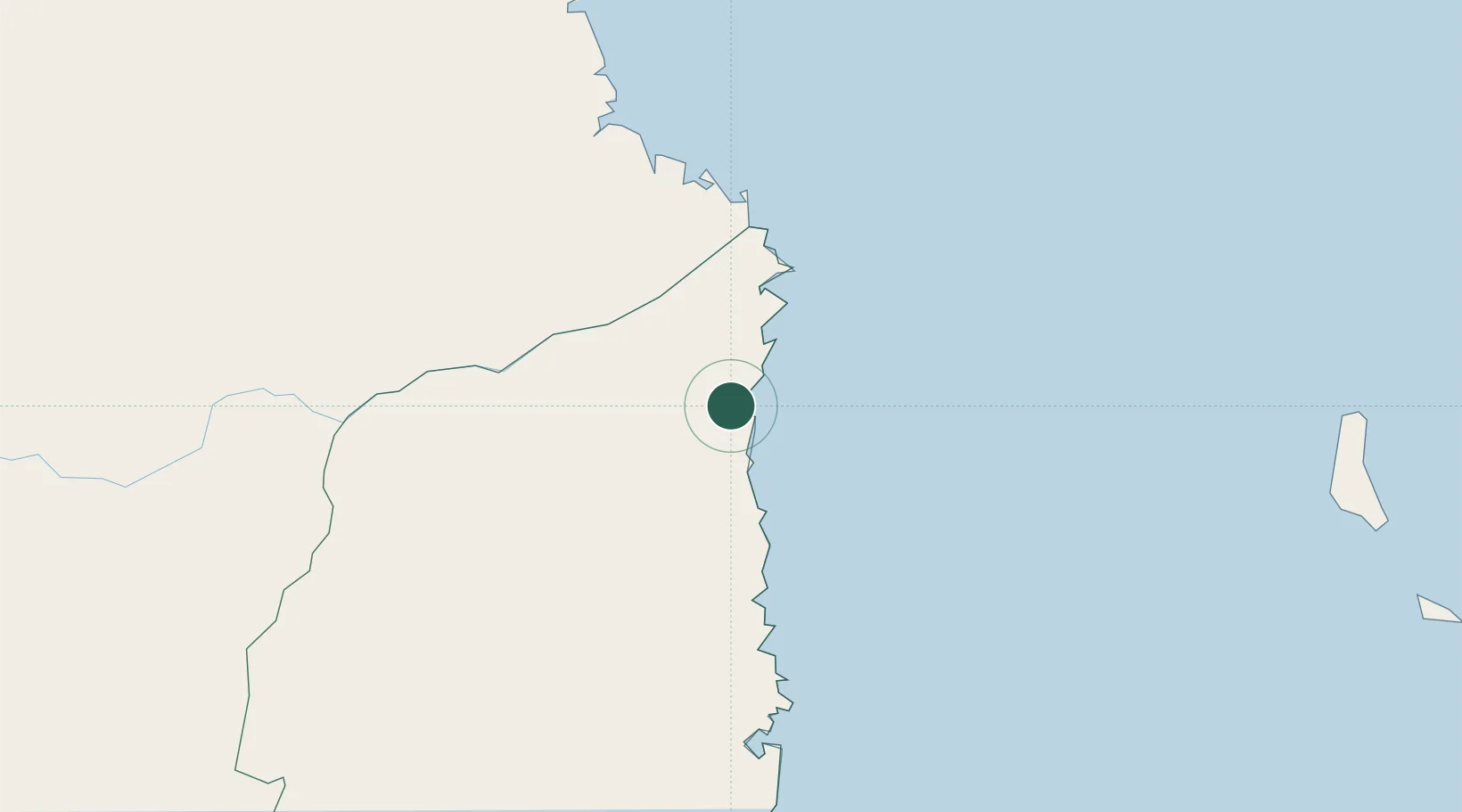
Mocímboa da Praia
-11.3333°, 40.3500°
45,313
Population
3
Transport functions
Transport Functions
Port
Road
Airport
Hub Profile
Place type
Populated place
Region
Cabo Delgado Province
Population
45,313
Time zone
Africa/Maputo
Elevation
25 m
Location
Nearby Logistics Neighbours
Ports
- 1Ibo115 km
- 2Mtwara120 km
- 3Mikindani121 km
- 4Pemba182 km
- 5Kilwa Kivinje307 km
Airports
- 1Mocímboa da Praia Airport3 km
- 2Mueda Airport94 km
- 3Mtwara Airport112 km
- 4Pemba Airport186 km
- 5Prince Said Ibrahim International Airport319 km
Trade Zones
DatabookThe Record of Consolidated Knowledge
Mozambique beyond logistics?