Medium airport · Tanzania
Songwe AirportHTGW
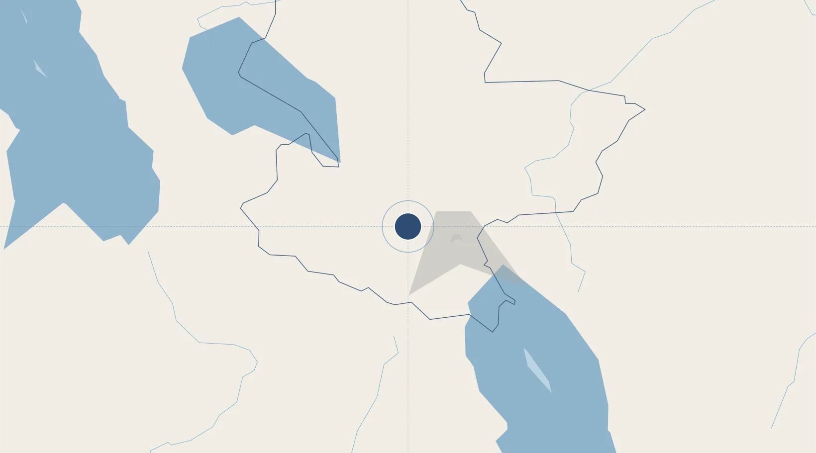
-8.9199°, 33.2740°
10,925 ft
Longest runway
1
Runways
4,412 ft
Elevation
Runway & Layout

Runways · 1
| Runway | Dimensions | Surface | True heading | Lit |
|---|---|---|---|---|
| 09/27 | 10,925 × 148ft | Asphalt | — | — |
Airport Specifications
IATA code
MBI
ICAO code
HTGW
Airport class
Medium airport
Scheduled service
Yes
Runway surface
Asphalt
Served city
Mbeya
Location
Nearby Logistics Neighbours
Airports
- 1Karonga Airport134 km
- 2Kasama Airport276 km
- 3Mzuzu Airport292 km
- 4Iringa Airport306 km
- 5Dodoma Airport410 km
Ports
- 1Kilwa Kivinje675 km
- 2Dar Es Salaam704 km
- 3Zanzibar720 km
- 4Mikindani767 km
- 5Tanga773 km
Trade Zones
DatabookThe Record of Consolidated Knowledge
Tanzania beyond logistics?