Export Processing Zone · Tanzania

Manyoni Export Processing Zone Active
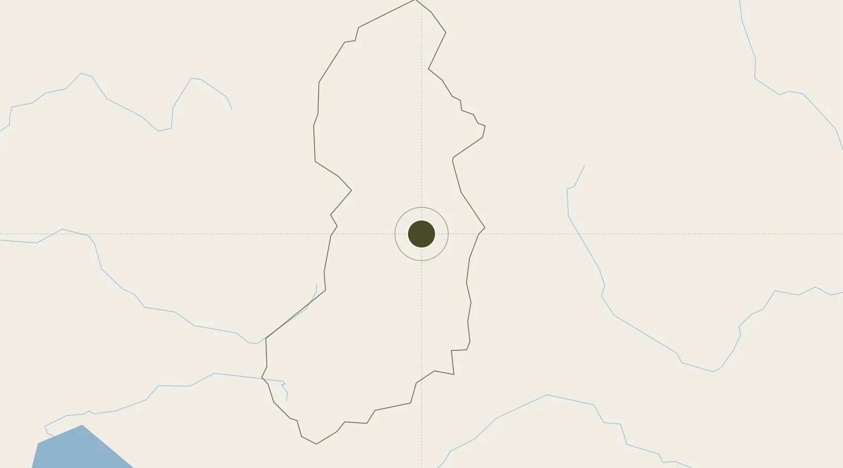
-5.7524°, 34.8124°
2,000 ha
Zone area
482.2 km
Nearest port
113.9 km
Nearest airport

Gateway access

Nearest neighbours — logibook spatial index (haversine) over the source coordinates

Zone profile

Zone type
Export Processing Zone
Open Zone Map
Region
Singida
Open Zone Map
Status
Active
Open Zone Map
Management
Public
Open Zone Map
Operator
Export Processing Zone Authority
Open Zone Map
Legal framework
Special Economic Zones Act of 2006
Open Zone Map

Location

Location of ozm-4425
Natural Earth 10m (public domain) · Singida · ozm-4425 · -5.75, 34.81GoogleOSMYandex

Nearby Logistics Neighbours

Ports
  1. 1Tanga482 km
  2. 2Zanzibar486 km
  3. 3Dar Es Salaam510 km
  4. 4Mombasa570 km
  5. 5Kilwa Kivinje606 km
Nearest neighbours — logibook spatial index (haversine) over the source coordinates
Airports
  1. 1Dodoma Airport114 km
  2. 2Tabora Airport232 km
  3. 3Iringa Airport237 km
  4. 4Shinyanga Airport279 km
  5. 5Lake Manyara Airport287 km
Nearest neighbours — logibook spatial index (haversine) over the source coordinates
Cities
  1. 1Moshi387 km
  2. 2Mwanza418 km
  3. 3Kibaha468 km
  4. 4Kagera475 km
  5. 5Tanga481 km
Nearest neighbours — logibook spatial index (haversine) over the source coordinates
Trade Zones
  1. 1Dodoma Trade and Logistics Centre120 km
  2. 2Kisongo Export Processing Zone329 km
  3. 3Star City Special Economic Zone336 km
  4. 4Mererani Export Processing Zone348 km
  5. 5Kilengula Export Processing Zone403 km
Nearest neighbours — logibook spatial index (haversine) over the source coordinates
DatabookThe Record of Consolidated Knowledge
Tanzania beyond logistics?
Browse databook

All Sources

Trade ZonesOpen Zone Map
CC BY
Portsthe NGA World Port Index
Public domain (US gov)
AirportsOurAirports
Public domain
LocationsUN/LOCODE
UN/LOCODE — free
← Tanzania trade zones