Export Processing Zone · Tanzania

Kilengula Export Processing Zone Under Development
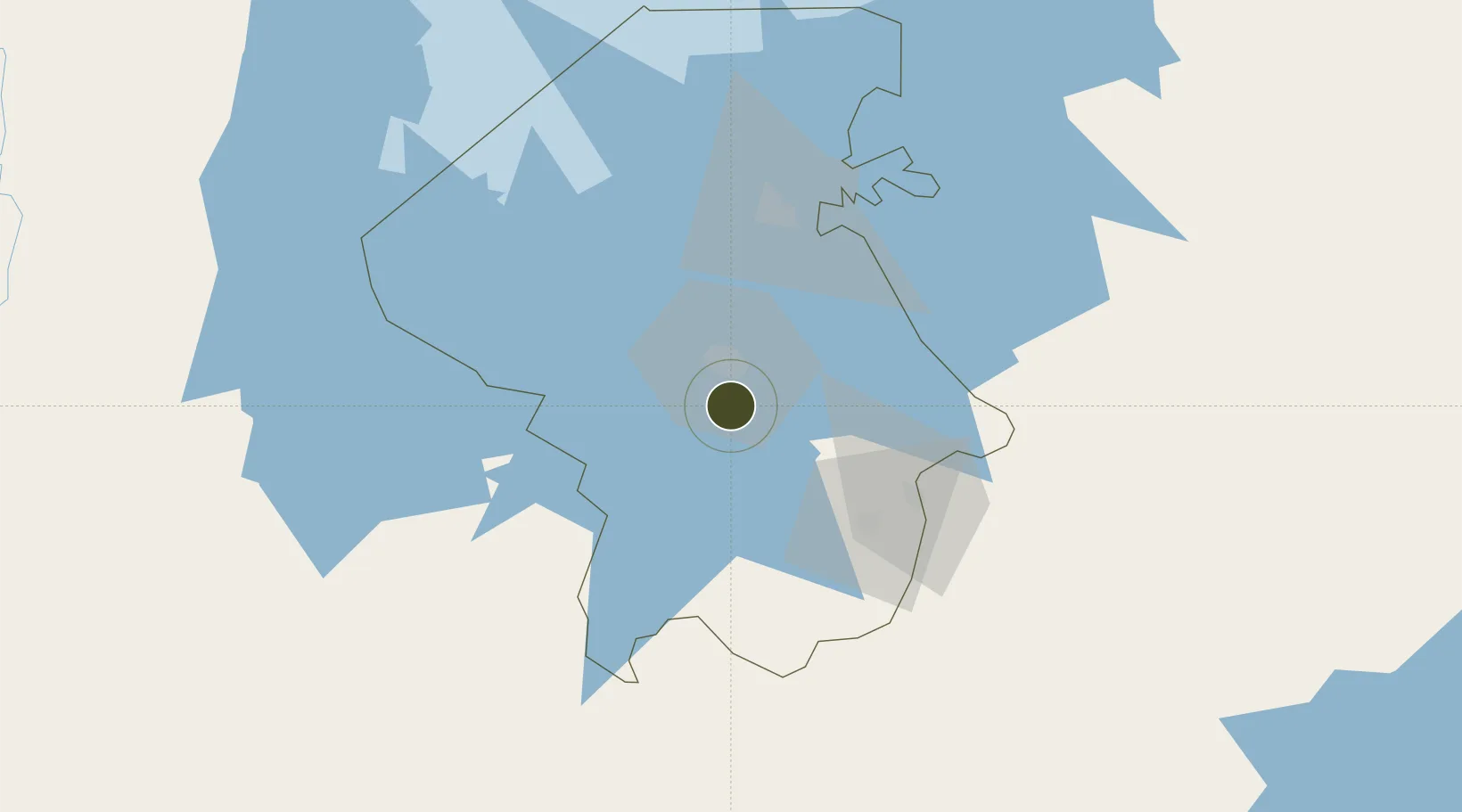
-2.6392°, 32.9584°
2,000 ha
Zone area
735.2 km
Nearest port
21.6 km
Nearest airport

Gateway access

Nearest neighbours — logibook spatial index (haversine) over the source coordinates

Zone profile

Zone type
Export Processing Zone
Open Zone Map
Region
Mwanza
Open Zone Map
Status
Under Development
Open Zone Map
Management
Public
Open Zone Map
Operator
Export Processing Zone Authority
Open Zone Map
Legal framework
Special Economic Zones Act of 2006
Open Zone Map

Location

Location of ozm-4420
Natural Earth 10m (public domain) · Mwanza · ozm-4420 · -2.64, 32.96GoogleOSMYandex

Nearby Logistics Neighbours

Ports
  1. 1Tanga735 km
  2. 2Mombasa761 km
  3. 3Kilifi775 km
  4. 4Zanzibar794 km
  5. 5Malindi799 km
Nearest neighbours — logibook spatial index (haversine) over the source coordinates
Airports
  1. 1Mwanza International Airport22 km
  2. 2Shinyanga Airport124 km
  3. 3Musoma Airport157 km
  4. 4Bukoba Airport193 km
  5. 5Seronera Airport208 km
Nearest neighbours — logibook spatial index (haversine) over the source coordinates
Cities
  1. 1Mwanza15 km
  2. 2Kibondo270 km
  3. 3Nyagatare330 km
  4. 4Mukono333 km
  5. 5Siaya335 km
Nearest neighbours — logibook spatial index (haversine) over the source coordinates
Trade Zones
  1. 1Usagara Export Processing Zone1 km
  2. 2Bunda Export Processing Zone118 km
  3. 3Tairo Export Processing Zone118 km
  4. 4Lake Victoria Free Trade Zone (Sseesamirembe City)261 km
  5. 5Rakai Industrial Park275 km
Nearest neighbours — logibook spatial index (haversine) over the source coordinates
DatabookThe Record of Consolidated Knowledge
Tanzania beyond logistics?
Browse databook

All Sources

Trade ZonesOpen Zone Map
CC BY
Portsthe NGA World Port Index
Public domain (US gov)
AirportsOurAirports
Public domain
LocationsUN/LOCODE
UN/LOCODE — free
← Tanzania trade zones