Export Processing Zone · Tanzania

Dodoma Trade and Logistics Centre Under Development
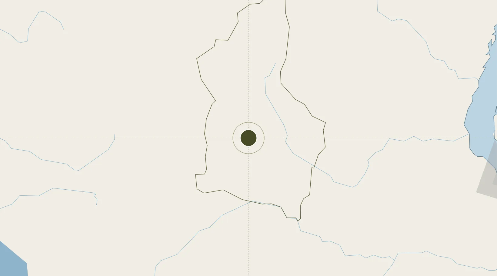
-6.2155°, 35.7949°
154 ha
Zone area
374.6 km
Nearest port
6.9 km
Nearest airport

Gateway access

Nearest neighbours — logibook spatial index (haversine) over the source coordinates

Zone profile

Zone type
Export Processing Zone
Open Zone Map
Region
Dodoma
Open Zone Map
Status
Under Development
Open Zone Map
Management
Public-Private Partnership
Open Zone Map
Operator
State Owned
Open Zone Map
Legal framework
Special Economic Zones Act of 2006
Open Zone Map

Location

Location of ozm-4411
Natural Earth 10m (public domain) · Dodoma · ozm-4411 · -6.22, 35.79GoogleOSMYandex

Nearby Logistics Neighbours

Ports
  1. 1Zanzibar375 km
  2. 2Tanga389 km
  3. 3Dar Es Salaam393 km
  4. 4Kilwa Kivinje488 km
  5. 5Mombasa491 km
Nearest neighbours — logibook spatial index (haversine) over the source coordinates
Airports
  1. 1Dodoma Airport7 km
  2. 2Iringa Airport162 km
  3. 3Lake Manyara Airport316 km
  4. 4Arusha Airport330 km
  5. 5Kilimanjaro International Airport341 km
Nearest neighbours — logibook spatial index (haversine) over the source coordinates
Cities
  1. 1Kibaha350 km
  2. 2Moshi361 km
  3. 3Zanzibar376 km
  4. 4African Inland Container Depot386 km
  5. 5Tanga388 km
Nearest neighbours — logibook spatial index (haversine) over the source coordinates
Trade Zones
  1. 1Manyoni Export Processing Zone120 km
  2. 2Star City Special Economic Zone216 km
  3. 3Kisongo Export Processing Zone327 km
  4. 4Mererani Export Processing Zone328 km
  5. 5Ujiji Export Processing Zone342 km
Nearest neighbours — logibook spatial index (haversine) over the source coordinates
DatabookThe Record of Consolidated Knowledge
Tanzania beyond logistics?
Browse databook

All Sources

Trade ZonesOpen Zone Map
CC BY
Portsthe NGA World Port Index
Public domain (US gov)
AirportsOurAirports
Public domain
LocationsUN/LOCODE
UN/LOCODE — free
← Tanzania trade zones